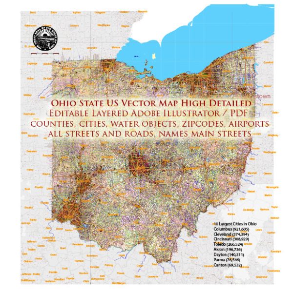
Ohio State, as a part of the United States, has a rich history of urban development that reflects broader trends in American history. The state’s urban development can be traced back to the early 19th century when settlers moved into the region, and cities began to emerge as centers of commerce, industry, and culture. Here is a brief overview of the urban development history in Ohio:
- Early Settlement and Urbanization (late 18th to early 19th century):
- The Northwest Territory, which included present-day Ohio, saw an influx of settlers in the late 18th century.
- River systems like the Ohio River facilitated transportation and trade, contributing to the growth of early settlements.
- Canal Era (early to mid-19th century):
- The construction of the Ohio and Erie Canal (completed in 1832) and the Miami and Erie Canal (completed in 1845) played a crucial role in connecting Ohio’s cities and promoting economic development.
- Cities like Cleveland, Cincinnati, and Toledo thrived as transportation hubs, fostering trade and industrialization.
- Industrialization and Growth (late 19th to early 20th century):
- The late 19th century witnessed rapid industrialization, with cities becoming centers of manufacturing and industry.
- Cleveland emerged as a major industrial and transportation hub, particularly in steel production.
- Columbus, the state capital, also experienced growth, driven by government institutions and educational establishments.
- The Great Depression and Post-World War II (1930s to 1950s):
- Like many other regions, Ohio faced economic challenges during the Great Depression, impacting urban development.
- Post-World War II, there was a significant shift as suburbs developed, and urban centers experienced changes in population and economic dynamics.
- Urban Renewal and Decline (1960s to 1980s):
- Many Ohio cities, like others across the U.S., underwent urban renewal projects in the mid-20th century, leading to the redevelopment of downtown areas.
- However, some neighborhoods faced decline as industries moved, and suburbanization took hold.
- Rust Belt Challenges (Late 20th century):
- Ohio, being part of the Rust Belt, faced challenges as traditional industries declined, leading to economic struggles in some urban areas.
- Revitalization and Renewal (Late 20th century to present):
- In recent decades, there have been efforts to revitalize urban areas, with a focus on economic diversification, cultural development, and the renovation of historic districts.
- Modern Urban Landscape:
- Today, Ohio’s major cities, including Cleveland, Columbus, and Cincinnati, are diverse economic centers with thriving cultural scenes, educational institutions, and healthcare facilities.
Ohio’s urban development reflects the broader patterns of American history, from westward expansion and industrialization to suburbanization and recent efforts at urban revitalization. The state’s cities continue to evolve, adapting to changing economic and social dynamics.


 Author: Kirill Shrayber, Ph.D.