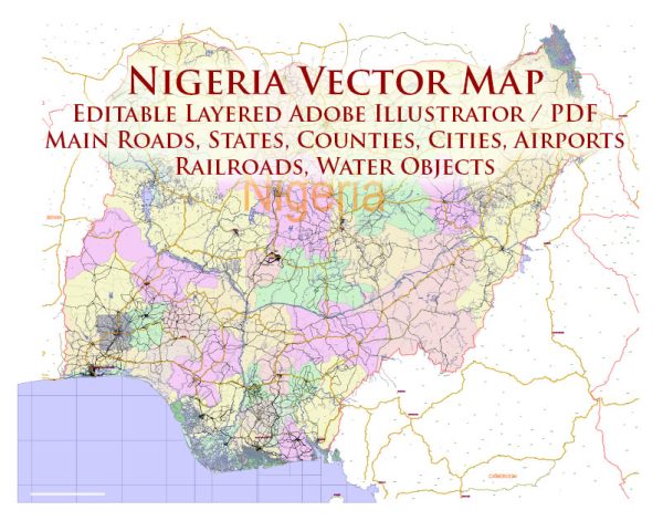
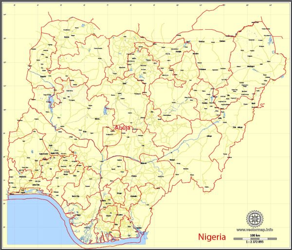
The history of urban development in Nigeria is marked by a complex interplay of indigenous cultures, colonial influences, and post-independence challenges. The urbanization process in Nigeria has evolved over centuries, with significant transformations during the pre-colonial, colonial, and post-colonial periods.
- Pre-Colonial Era:
- Nigeria’s pre-colonial history is characterized by the existence of several sophisticated and organized societies. Prominent among them were the Hausa city-states in the north, the Yoruba kingdoms in the southwest, and the Igbo societies in the southeast.
- These civilizations had well-planned settlements with established social structures, economic activities, and architectural designs. Cities such as Kano, Katsina, Ile-Ife, and Benin City were notable examples of urban centers with advanced systems of governance, trade, and culture.
- Colonial Era:
- The arrival of European colonial powers, particularly the British, significantly influenced urban development. The British established administrative centers and trading posts, leading to the emergence of new urban centers and the expansion of existing ones.
- Lagos, which was already a significant coastal settlement, became the capital of Nigeria in 1914. The colonial administration introduced new urban planning principles, infrastructure, and governance structures, often segregating urban spaces based on racial and class lines.
- Post-Independence Period:
- Nigeria gained independence from British colonial rule in 1960, and the post-independence period saw rapid urbanization and population growth. The discovery of oil in the Niger Delta in the 1950s contributed to economic development but also led to migration from rural to urban areas.
- Major cities like Lagos, Ibadan, Kano, and Port Harcourt experienced significant population increases and challenges related to infrastructure, housing, and social services. Unplanned urbanization resulted in the emergence of informal settlements and slums.
- Urban Challenges:
- The rapid pace of urbanization has presented numerous challenges, including inadequate infrastructure, housing shortages, traffic congestion, and environmental degradation.
- Government efforts to address these challenges have included urban renewal projects, the development of new infrastructure, and the creation of master plans for sustainable urban growth. However, implementation has often faced obstacles such as corruption and bureaucratic inefficiencies.
- Contemporary Urban Development:
- In recent years, there has been a growing recognition of the need for sustainable urban development. Efforts are being made to promote inclusive growth, improve infrastructure, and address the social and environmental aspects of urbanization.
- The Nigerian government and various stakeholders are exploring smart city initiatives, digital technologies, and urban planning strategies to create more livable and resilient cities.
Understanding Nigeria’s history of urban development requires considering its diverse cultural heritage, colonial legacy, and contemporary challenges. The ongoing efforts to balance economic growth with sustainable urban planning will play a crucial role in shaping the future of Nigerian cities.


 Author: Kirill Shrayber, Ph.D. FRGS