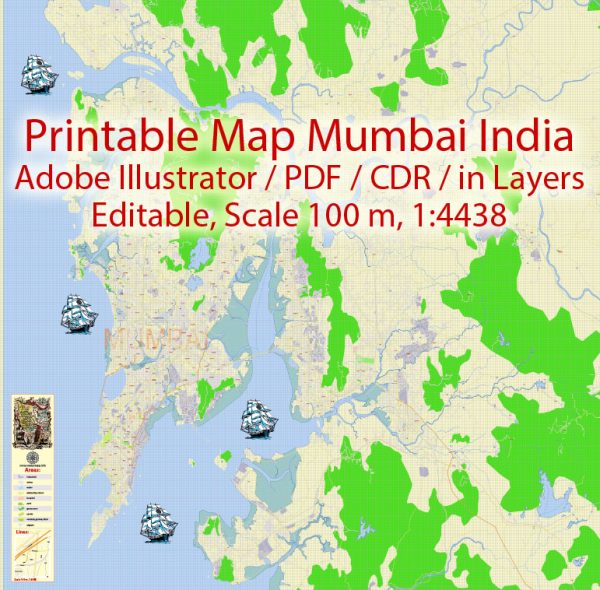
Mumbai, formerly known as Bombay, is the capital city of the Indian state of Maharashtra. It is the most populous city in India and the seventh most populous city in the world. The history of Mumbai’s urban development is rich and diverse, shaped by a combination of historical, geographical, and socio-economic factors.
- Pre-colonial Era:
- Before the arrival of the Portuguese in the 16th century, the region that is now Mumbai was primarily composed of several islands inhabited by fishing communities.
- The islands were later ceded to the British Crown as part of the dowry of Catherine of Braganza when she married Charles II in 1661.
- Colonial Period:
- The British East India Company took possession of the islands and developed Bombay as a strategic trading post.
- The construction of Fort St. George in the 17th century marked the beginning of the city’s urban development.
- The British developed Mumbai into a major port and trading center, attracting migrants from various parts of India.
- 19th Century:
- The opening of the Suez Canal in 1869 further increased Mumbai’s importance as a maritime trade hub.
- The development of railways in the mid-19th century connected Mumbai to the hinterland, facilitating the movement of goods and people.
- The city expanded northward, and significant infrastructural projects, such as the construction of Victoria Terminus (now Chhatrapati Shivaji Maharaj Terminus) in 1887, contributed to its urban growth.
- Early 20th Century:
- The early 20th century saw the development of iconic landmarks like the Gateway of India (built in 1924) and Marine Drive.
- The city faced challenges such as the bubonic plague in 1896, which led to the implementation of public health measures and urban planning initiatives.
- Post-Independence Era:
- After India gained independence in 1947, Mumbai continued to grow rapidly as a commercial and financial center.
- The development of industries and the establishment of the Bombay Stock Exchange reinforced the city’s economic significance.
- In the latter half of the 20th century, Mumbai experienced a population boom due to rural-to-urban migration.
- Contemporary Period:
- Mumbai’s urban development in recent decades has been characterized by rapid population growth, leading to challenges such as slums and inadequate infrastructure.
- Redevelopment projects, such as the Bandra-Kurla Complex and the Mumbai Metro, aim to address some of these challenges and modernize the city’s infrastructure.
- Challenges and Opportunities:
- Mumbai faces ongoing challenges related to congestion, housing, and environmental issues.
- Efforts are being made to address these challenges through sustainable urban planning, redevelopment projects, and improved public transportation.
Overall, Mumbai’s history of urban development reflects a dynamic interplay of historical forces, economic growth, and the ongoing efforts to balance the demands of a rapidly growing population with the need for sustainable and inclusive development.


 Author: Kirill Shrayber, Ph.D. FRGS