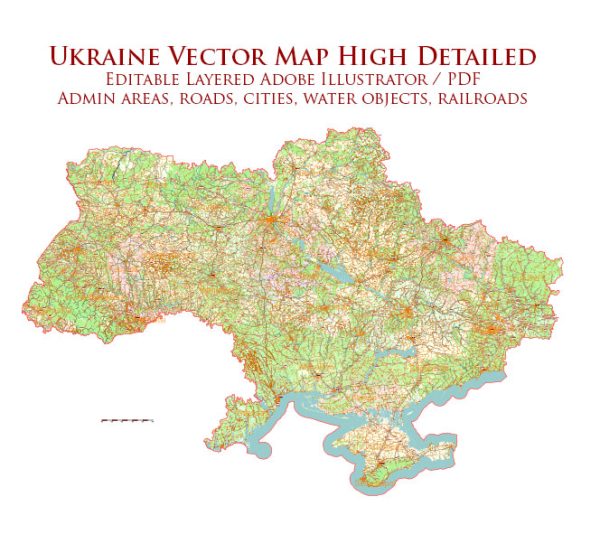
Ukraine has a rich history of urban development that spans centuries, influenced by various cultures, political changes, and economic developments. The country’s urban history can be broadly categorized into different periods, each marked by distinct architectural styles, urban planning principles, and societal changes.
- Medieval Period (9th to 14th centuries):
- The earliest urban centers in what is now Ukraine emerged during the medieval period, often centered around trade routes and fortified settlements.
- Kyiv, the capital of modern Ukraine, has a history dating back over 1,400 years and served as a significant medieval trading and cultural hub.
- The architecture of this period often featured Byzantine influences, with churches and fortifications dominating the urban landscape.
- Cossack Era (17th century):
- The Cossack period saw the development of new urban centers, including the establishment of new towns and the expansion of existing ones.
- Cherkasy, founded in 1625, is an example of a town that grew during this time, serving as a military and administrative center.
- Imperial Russia (18th to early 20th centuries):
- Ukraine became part of the Russian Empire in the late 18th century, and this period witnessed the influence of neoclassical architecture in urban planning.
- Cities like Odessa, founded in 1794, became important ports and economic centers, displaying a mix of neoclassical and later eclectic architectural styles.
- Soviet Era (1922–1991):
- The Soviet period brought significant changes to Ukrainian urban development. Industrialization led to the growth of urban areas, with an emphasis on functional and mass housing.
- Many cities experienced rapid expansion and the construction of standardized apartment blocks. Kyiv, for example, saw the establishment of microdistricts with large residential complexes.
- Post-Soviet Independence (1991–present):
- After gaining independence in 1991, Ukraine faced the challenge of transitioning to a market economy. This period witnessed a mix of architectural styles as cities sought to redefine their identities.
- Economic challenges and political changes influenced urban development, with some areas experiencing revitalization projects, while others faced issues of neglect and decay.
- Contemporary Urban Challenges:
- Today, Ukrainian cities face challenges related to rapid urbanization, infrastructure development, and the preservation of historical sites.
- There is a growing emphasis on sustainable urban planning, cultural preservation, and the development of modern infrastructure to meet the needs of a dynamic and evolving society.
Throughout its history, Ukraine’s urban development has been shaped by a complex interplay of cultural, political, and economic factors, resulting in a diverse and evolving urban landscape. The country continues to navigate the balance between preserving its historical heritage and embracing contemporary urbanization trends.


 Author: Kirill Shrayber, Ph.D. FRGS