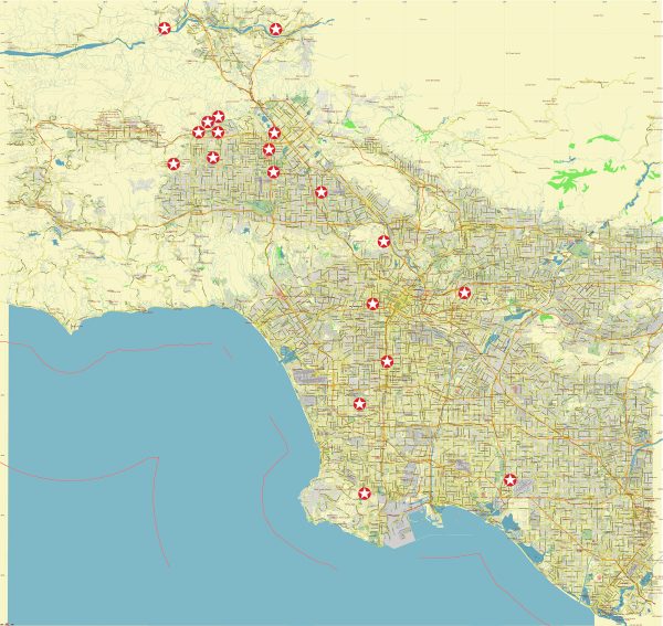
The north-western part of Los Angeles, California, includes a variety of neighborhoods and communities. Some notable areas in this region include:
- Woodland Hills: A suburban neighborhood known for its residential areas, parks, and the Westfield Topanga shopping mall.
- Calabasas: A city known for its affluent neighborhoods and gated communities. It’s also famous for being home to several celebrities.
- West Hills: A residential and commercial neighborhood with a mix of housing types and shopping centers.
- Canoga Park: A neighborhood with a diverse population, offering a mix of residential, commercial, and industrial areas.
- Hidden Hills: An exclusive, gated community known for its large estates and privacy.
- Winnetka: A suburban community with a mix of housing options, parks, and schools.
- Chatsworth: Known for its open spaces and hiking trails, Chatsworth is a residential neighborhood with a mix of suburban and rural characteristics.
These areas collectively contribute to the diverse landscape of the north-western part of Los Angeles, offering a range of amenities, parks, and housing options. Keep in mind that the development and character of neighborhoods can change, so it’s always a good idea to check for the latest information if you are looking for specific details or updates.


 Author: Kirill Shrayber, Ph.D. FRGS