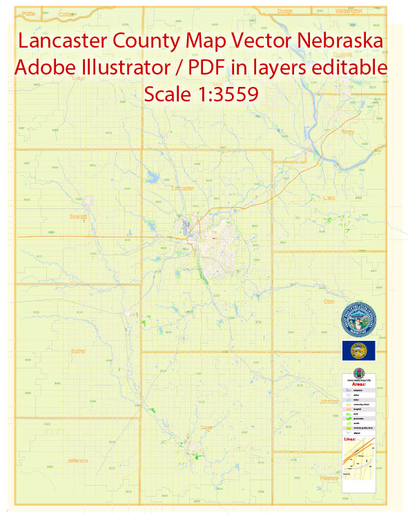
Lancaster County, Nebraska, where the city of Lincoln is located, has a rich history of urban development that reflects the broader trends in American settlement and growth. Here’s a brief overview:
- Early Settlement (1850s-1860s): Lancaster County was established in 1859, and the city of Lincoln was founded in 1864 as the village of Lancaster. The area attracted settlers primarily due to the Homestead Act of 1862, which offered land to those willing to work and develop it. The region’s fertile soil attracted farmers, and the city began to grow around the Nebraska State Capitol building.
- Railroad Expansion (1860s-1870s): The arrival of the railroad in the 1860s played a crucial role in Lincoln’s development. The railroad facilitated the transportation of goods and people, leading to increased economic activity and population growth. Lincoln was chosen as the state capital in 1867, further boosting its prominence.
- University Influence (1869-1900): In 1869, the University of Nebraska was founded in Lincoln. The presence of a major educational institution contributed to the city’s cultural and intellectual development. The university has continued to be a significant influence on Lincoln’s growth and identity.
- Agriculture and Industry (Late 19th to Early 20th Century): Lincoln’s economy was initially driven by agriculture, but as the city grew, various industries emerged. Manufacturing, including the production of agricultural equipment, became important. The city’s economy diversified, and Lincoln continued to be a regional hub.
- Post-World War II Suburbanization (1950s-1960s): Like many American cities, Lincoln experienced suburbanization in the post-World War II era. The availability of automobiles and the construction of highways allowed people to live farther from the city center. This led to the development of suburban neighborhoods and shopping centers.
- Economic Growth and Modernization (Late 20th Century): Lincoln’s economy continued to diversify in the latter half of the 20th century. The city attracted businesses in fields such as technology, finance, and healthcare. The development of shopping malls and entertainment facilities contributed to the city’s modernization.
- Contemporary Development (21st Century): In recent years, Lincoln has seen continued urban development, with a focus on revitalizing downtown areas, creating green spaces, and promoting sustainability. The city has invested in infrastructure projects, including the Pinnacle Bank Arena, which serves as a venue for sports and entertainment events.
Throughout its history, Lincoln’s development has been shaped by factors such as transportation, agriculture, education, and economic diversification. The city continues to evolve, balancing its historic roots with the demands of a modern urban environment.


 Author: Kirill Shrayber, Ph.D. FRGS