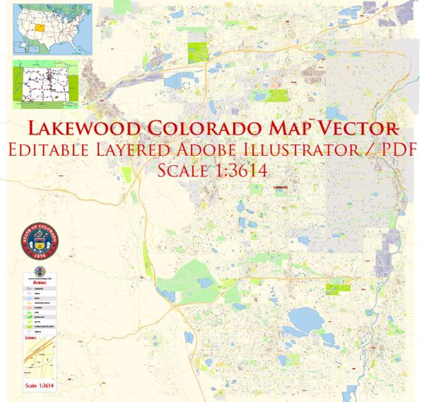
Lakewood, Colorado, has a rich history of urban development that reflects the broader trends and patterns of growth in the western United States. The city is located just west of Denver and has evolved from a rural community into a thriving suburban area. Here is a brief overview of the history of urban development in Lakewood:
- Early Settlement and Agriculture (19th Century):
- Lakewood’s history can be traced back to the 19th century when the area was primarily rural and characterized by farming and ranching.
- The development of the region was influenced by the expansion of the railroad, making it easier to transport goods and people.
- Suburban Growth (20th Century):
- The mid-20th century saw significant suburbanization across the United States, and Lakewood was no exception.
- After World War II, returning veterans and a growing population led to increased demand for housing. Subdivisions and housing developments began to replace agricultural land.
- The completion of the Interstate Highway System, including I-70 and I-25, facilitated commuting and connected Lakewood to the larger Denver metropolitan area.
- Incorporation and Cityhood (1969):
- Lakewood officially became a city in 1969, incorporating as a home-rule municipality. This allowed the local government greater autonomy in managing its affairs.
- The establishment of a city government marked a turning point in Lakewood’s development, allowing for more localized planning and decision-making.
- Commercial and Retail Development:
- Lakewood has experienced significant commercial and retail development, with shopping centers and business districts emerging to serve the growing population.
- The Belmar area, in particular, underwent a major redevelopment in the early 2000s, transforming a former shopping mall into a mixed-use urban center with retail, residential, and office space.
- Population Growth and Diversification:
- Lakewood’s population has steadily grown over the years, attracting residents seeking a suburban lifestyle close to Denver.
- The city has become more diverse, with a mix of residential, commercial, and industrial areas. It offers a range of housing options, from single-family homes to apartment complexes.
- Open Space and Parks:
- Despite urbanization, Lakewood has made efforts to preserve open space and enhance its parks and recreational areas. Green Mountain, Bear Creek Lake Park, and William F. Hayden Green Mountain Park are examples of the city’s commitment to maintaining natural areas.
- Transportation and Infrastructure:
- Lakewood’s development has been influenced by transportation infrastructure, including highways and public transit. The city has adapted to changing transportation needs and continues to invest in infrastructure projects to accommodate growth.
Understanding Lakewood’s history of urban development provides insight into the broader trends shaping suburban communities in the United States, as well as the challenges and opportunities faced by cities in managing growth and maintaining quality of life for residents.


 Author: Kirill Shrayber, Ph.D.