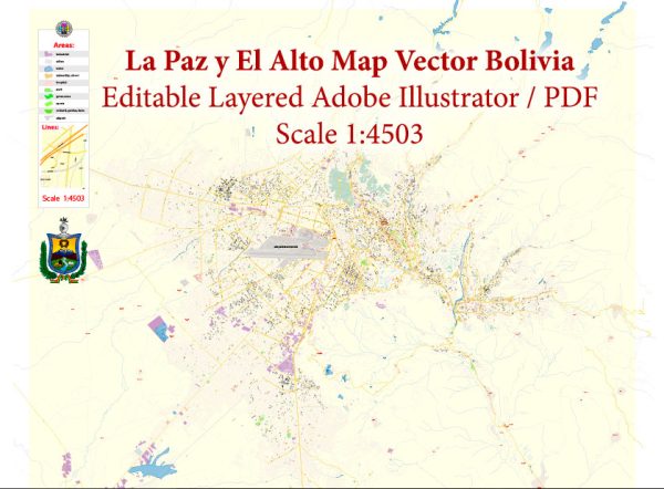
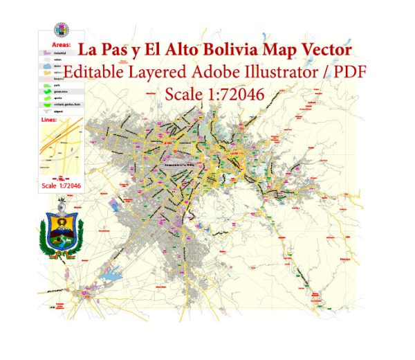
La Paz and its neighboring city, El Alto, together form the highest metropolitan area in the world, situated in the Andes Mountains of Bolivia. The history of urban development in this region is fascinating, marked by both cultural and socio-economic factors.
- Pre-Colonial Era: Before the arrival of the Spanish, the area was inhabited by indigenous peoples, including the Aymara. The terrain and altitude posed challenges for settlement, but these communities adapted to the harsh environment, developing agricultural techniques suited to the high-altitude conditions.
- Spanish Colonial Period: The Spanish founded La Paz in 1548, and it became an important colonial administrative center due to its strategic location. The city grew around the Spanish-style central square and architecture. The indigenous Aymara influence persisted, creating a unique blend of cultural elements.
- Post-Independence: After Bolivia gained independence in the early 19th century, La Paz continued to be an important political and economic hub. However, urban development was somewhat constrained by the challenging topography. The city gradually expanded into the surrounding hills and valleys.
- The Seat of Government Controversy: La Paz has long been the seat of government, but in the late 19th and early 20th centuries, there were discussions about moving the capital to Sucre. This debate has influenced the urban development of La Paz, as political and administrative structures were established and expanded to secure its status as the de facto capital.
- 20th Century and the Rise of El Alto: El Alto, initially a settlement for rural-to-urban migrants, experienced significant growth in the latter half of the 20th century. Its development was initially informal, with self-built adobe houses sprawling across the altiplano. El Alto became a center for commerce and industry, and its population exploded.
- Challenges and Opportunities: The unique topography of La Paz and El Alto poses challenges for urban planning and infrastructure development. The steep slopes and high altitude make transportation and construction difficult. However, these challenges also present opportunities for innovative solutions, such as the famous cable car system introduced in the 21st century to connect different parts of the city.
- Contemporary Development: In recent decades, both La Paz and El Alto have experienced modernization and improvements in infrastructure. The cable car system, known as Mi Teleférico, has not only addressed transportation challenges but has also become a symbol of the urban transformation of the region.
- Cultural and Social Dynamics: The cities are characterized by a rich cultural tapestry, with indigenous traditions coexisting with modern urban life. The blend of Aymara and Spanish influences is evident in architecture, festivals, and daily life.
- Economic Transformation: La Paz and El Alto have evolved from being primarily administrative and trade centers to more diverse economic hubs. Industries such as manufacturing and services have grown, contributing to the economic vibrancy of the region.
The history of urban development in La Paz and El Alto is a testament to the resilience of communities adapting to challenging environments and the dynamic interplay of cultural, political, and economic forces over time.


 Author: Kirill Shrayber, Ph.D. FRGS