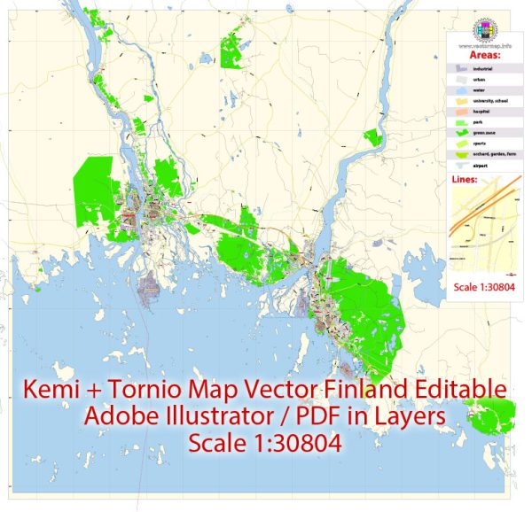
Kemi and Tornio are two separate municipalities located in northern Finland, and they are often considered as twin cities due to their close proximity to each other. The history of urban development in this region is closely tied to its geographical location, economic activities, and historical events.
- Geographical Setting:
- Kemi and Tornio are situated on the Gulf of Bothnia, near the border with Sweden. The Tornio River flows between the two cities, marking the boundary between Finland and Sweden.
- The geographical location has played a significant role in shaping the history of the region, as it has been a strategic location for trade and transportation.
- Early History:
- The area has a long history of human habitation, with evidence of settlements dating back to prehistoric times.
- The Tornio River has been a vital waterway for trade, connecting the inland areas to the Gulf of Bothnia and the Baltic Sea.
- Swedish Influence:
- Kemi and Tornio were historically part of the Kingdom of Sweden. The Swedish influence is evident in the architecture and cultural aspects of the cities.
- Tornio received its charter as a town in 1621, and it has a rich history as a trading and market town.
- Industrialization and Economy:
- The 19th century saw significant industrial development in the region. The availability of natural resources, such as timber and minerals, contributed to the growth of industries.
- Kemi, in particular, became known for its forestry and wood processing industries. The development of a pulp and paper industry was a key economic driver.
- Transportation and Trade:
- The cities’ strategic location along the Tornio River and the Gulf of Bothnia facilitated trade and transportation. The development of railways and later road networks further enhanced connectivity.
- Post-World War II Reconstruction:
- Like many European cities, Kemi and Tornio underwent reconstruction efforts following World War II. The war had caused damage to infrastructure, and rebuilding was a crucial aspect of urban development.
- Modern Era:
- Today, Kemi and Tornio continue to be important economic centers in northern Finland. They are known for their diverse industries, including forestry, metal, and chemical industries.
- The cities have also invested in modern infrastructure, education, and cultural amenities, making them attractive places to live and work.
- Cultural and Tourist Attractions:
- Both cities have preserved historical landmarks, museums, and cultural sites that showcase their rich history. Examples include historical buildings, churches, and museums that offer insights into the region’s past.
The history of urban development in Kemi and Tornio reflects the dynamic interplay between geography, economic activities, and cultural influences. Today, these cities are important hubs in the northern part of Finland, contributing to the overall economic and cultural landscape of the country.


 Author: Kirill Shrayber, Ph.D. FRGS