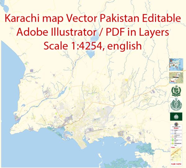
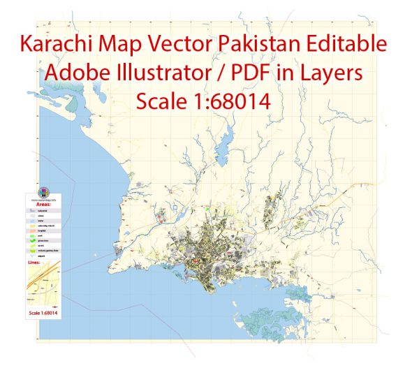
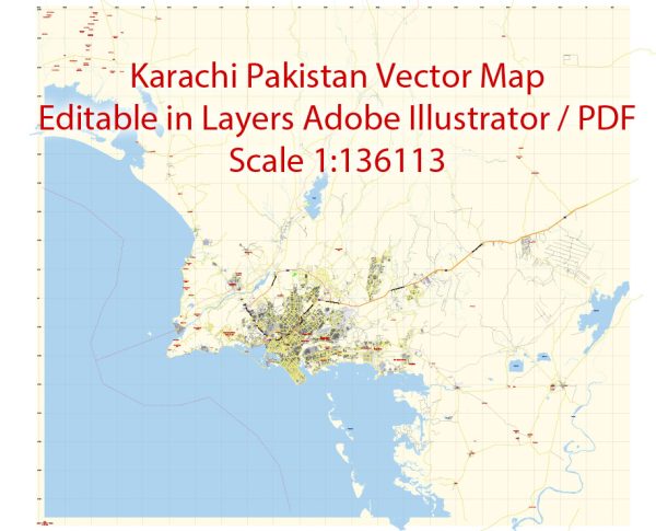
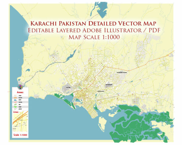
Karachi, the largest city in Pakistan and its economic hub, has a rich history of urban development that spans centuries. The city’s strategic location on the Arabian Sea coast has contributed to its significance as a major port and trading center. Here is a brief overview of Karachi’s history of urban development:
- Early Settlements (Prehistoric to 18th Century):
- The region around Karachi has evidence of human habitation dating back to prehistoric times.
- Throughout history, the area was inhabited by various civilizations, including the ancient Greeks, Persians, and the Indus Valley Civilization.
- In the 18th century, the Khan of Kalat granted the area to the rulers of Sindh, the Talpurs, who established a small fishing community.
- British Colonial Era (19th Century):
- In 1839, the British East India Company annexed Sindh, including Karachi, and the city gradually gained importance as a major port.
- The British developed Karachi as a trading and military outpost, constructing infrastructure such as roads, railways, and a harbor.
- Early 20th Century:
- Karachi continued to grow in importance during the early 20th century, serving as the capital of Sindh province.
- The city became a melting pot of various communities and cultures due to migration and trade.
- Infrastructure development expanded, with the construction of educational institutions, government buildings, and a railway network.
- Post-Independence (1947):
- After the partition of British India in 1947, Karachi became the capital of Pakistan.
- The city saw an influx of refugees, leading to significant demographic changes and an increased demand for housing and infrastructure.
- In the 1960s, Pakistan’s capital was moved to Islamabad, but Karachi continued to be the economic and industrial hub of the country.
- Modern Era:
- Karachi faced challenges related to rapid urbanization, including issues of infrastructure, housing, and transportation.
- The city experienced periods of political and ethnic tensions, affecting its development and growth.
- Despite challenges, Karachi has maintained its status as a major economic and cultural center, with a diverse population contributing to its vibrancy.
- Contemporary Challenges and Development:
- In recent decades, Karachi has faced challenges such as rapid population growth, inadequate infrastructure, and issues related to law and order.
- Efforts have been made to address these challenges through various development projects, including improvements in transportation, infrastructure, and urban planning.
Karachi’s history of urban development reflects its evolution from a small fishing village to a bustling metropolis. The city’s strategic location, economic significance, and diverse population have played crucial roles in shaping its urban landscape over the centuries.


 Author: Kirill Shrayber, Ph.D. FRGS