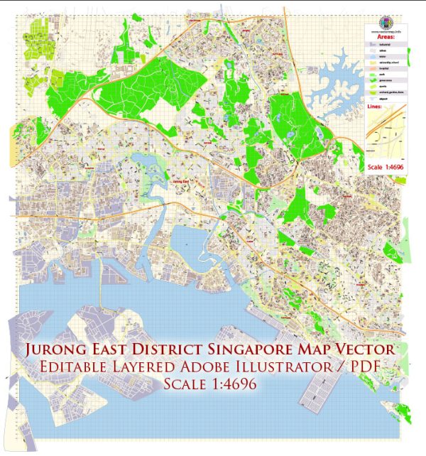
Jurong East is a planning area and residential town located in the western part of Singapore. Its development has been a significant part of Singapore’s urban planning and economic growth. Here’s an overview of the history of urban development in Jurong East:
- Early Years (1960s):
- In the 1960s, Singapore’s government, led by the Housing and Development Board (HDB), initiated a comprehensive urban development plan to address housing shortages and promote industrialization.
- Jurong, including Jurong East, was earmarked for industrial development. The Jurong Industrial Estate was one of the first industrial estates established in Singapore to attract foreign investments and boost the country’s economic growth.
- Industrialization and Growth (1970s-1980s):
- The 1970s and 1980s saw rapid industrialization in Jurong. The area became a hub for manufacturing and petrochemical industries, attracting multinational corporations and contributing significantly to Singapore’s economic development.
- Residential estates were also developed to accommodate the growing population, and Jurong East started transforming into a mixed-use district.
- Commercial and Residential Development (1990s-2000s):
- In the 1990s and 2000s, Jurong East underwent further transformation with the development of commercial and residential spaces. Shopping malls, residential complexes, and recreational facilities were established to create a balanced and self-contained town.
- The Jurong East Regional Centre, envisioned as a major commercial hub outside the Central Business District (CBD), was developed. This area includes shopping malls like JCube, Jem, and Westgate, making Jurong East a focal point for retail and business activities.
- Transportation Hub (2010s-present):
- The Jurong Lake District, where Jurong East is situated, has been identified as a key regional center in Singapore’s urban planning. It is envisioned as a vibrant business and leisure destination with a focus on sustainability and green spaces.
- The Jurong East MRT Interchange, served by both the East West Line and North South Line, has enhanced the area’s connectivity, making it a major transportation hub.
- The High-Speed Rail (HSR) terminus was initially planned for Jurong East, further boosting its significance in regional transportation.
- Jurong Lake District Master Plan:
- The Jurong Lake District Master Plan includes developments around Jurong Lake, promoting a mix of residential, commercial, and recreational spaces. The plan aims to create a sustainable and attractive urban environment.
Overall, Jurong East’s history reflects Singapore’s evolution from an industrial hub to a diverse and dynamic urban center, with a focus on balancing economic development, residential living, and recreational amenities. Keep in mind that urban development is an ongoing process, and plans may evolve over time.


 Author: Kirill Shrayber, Ph.D. FRGS