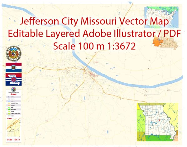
Jefferson City, the capital of Missouri, has a rich history of urban development that spans back to the early 19th century. Here is an overview of the key points in its urban development:
- Early Settlement (1821-1839): Jefferson City was founded in 1821 as part of the Missouri Compromise, which allowed Missouri to enter the Union as a slave state. The city was strategically located on the Missouri River and chosen as the state capital in 1826. Early development centered around government buildings and infrastructure to support the state government.
- Transportation Hub (1830s-1850s): The city’s growth was boosted by its role as a transportation hub. The Missouri River facilitated trade and transportation, and the arrival of the railroad in the mid-19th century further connected Jefferson City to other parts of the state and the nation. This period saw increased industrialization and economic development.
- Civil War Era (1861-1865): Jefferson City played a significant role during the Civil War. Being the state capital, it was a strategic target for both Union and Confederate forces. The city witnessed several skirmishes and changes in hands during the conflict. The war had a lasting impact on the city’s development and left scars that are visible in some historic sites.
- Post-Civil War Reconstruction (Late 19th Century): After the Civil War, Jefferson City experienced a period of reconstruction and growth. The state government played a key role in the city’s development, and new institutions, businesses, and residential areas emerged. The construction of the Missouri State Penitentiary in the 1830s also influenced the city’s growth and demographics.
- 20th Century Expansion: The 20th century brought further urbanization and expansion. Improved transportation, including the construction of highways, facilitated easier access to and from Jefferson City. The city continued to grow as government, education, and healthcare institutions expanded.
- Urban Renewal and Modernization (Mid-20th Century): Like many cities across the United States, Jefferson City experienced urban renewal efforts in the mid-20th century. This period saw the construction of new infrastructure, the redevelopment of certain areas, and efforts to modernize the city.
- Contemporary Development: In recent decades, Jefferson City has continued to evolve. The city has focused on preserving its historical heritage while also promoting economic development and community enhancement. Efforts have been made to revitalize downtown areas, promote tourism, and invest in education and cultural amenities.
Throughout its history, Jefferson City has retained its status as the political and administrative center of Missouri. Its development reflects broader historical trends, including westward expansion, transportation advancements, and the impacts of wars and social changes on urban areas. Today, the city stands as a blend of its historical roots and modern developments, showcasing its unique role in the state’s history and governance.


 Author: Kirill Shrayber, Ph.D. FRGS