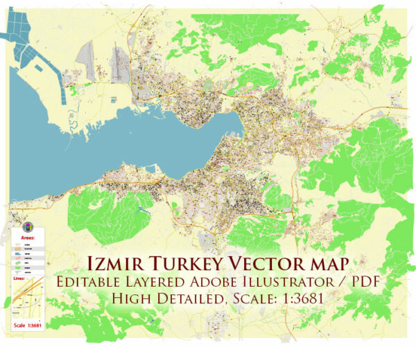
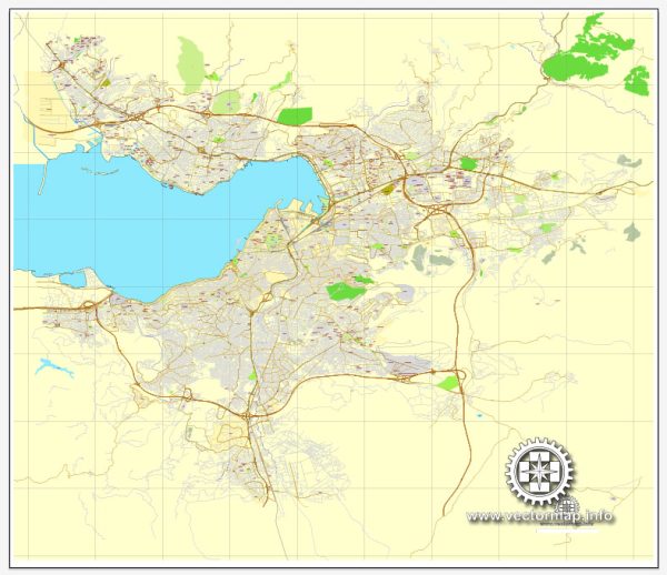
Izmir, historically known as Smyrna, has a rich history of urban development that spans thousands of years. The city is located on the Aegean coast of Turkey and has been a significant center of civilization since ancient times. Here is a brief overview of the history of urban development in Izmir:
- Ancient Period (3000 BCE – 4th century CE):
- Izmir’s history dates back to the third millennium BCE when it was founded by the Aeolians.
- The city played a crucial role in the Ionian League and later came under the control of the Persian Empire.
- Alexander the Great captured Smyrna in the 4th century BCE, and the city became part of the Hellenistic Seleucid Empire.
- Roman and Byzantine Period (2nd century BCE – 11th century CE):
- Smyrna became a prosperous Roman city in the 2nd century BCE, with notable architectural developments including a well-designed street grid.
- During the Byzantine era, Smyrna faced various challenges, including invasions and earthquakes.
- The city’s importance declined during this period, but it remained an important center of Christianity.
- Ottoman Period (15th century – 1922):
- The Ottomans captured Smyrna in the 15th century, and the city experienced a revival in the 17th century under Ottoman rule.
- The Ottomans contributed to the city’s architectural development with mosques, bridges, and markets.
- In the 19th and early 20th centuries, Smyrna became a cosmopolitan city with a diverse population, including Greeks, Armenians, and Turks.
- Early 20th Century and the Great Fire (1922):
- The city faced a significant turning point in 1922 during the Greco-Turkish War when it was recaptured by Turkish forces.
- The Great Fire of Smyrna in 1922 resulted in the destruction of much of the city, erasing many historical buildings and landmarks.
- Modern Period (1923 – Present):
- After the establishment of the Republic of Turkey in 1923, the city was renamed Izmir.
- Post-World War II, Izmir underwent rapid industrialization and urbanization.
- The city has expanded its infrastructure, including transportation networks, and witnessed the construction of modern buildings and residential areas.
- Contemporary Urban Development:
- In recent decades, Izmir has continued to modernize with the development of new residential and commercial areas.
- The city has invested in cultural and recreational facilities, enhancing the quality of life for its residents.
- Preservation efforts have also been made to protect and restore historical sites that survived the Great Fire.
Throughout its long history, Izmir has faced challenges such as invasions, earthquakes, and fires, but it has consistently been a vital center of commerce, culture, and history in the Aegean region. Today, Izmir stands as Turkey’s third-largest city, with a unique blend of ancient heritage and modern development.


 Author: Kirill Shrayber, Ph.D. FRGS