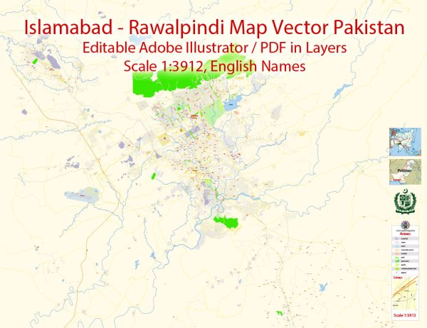
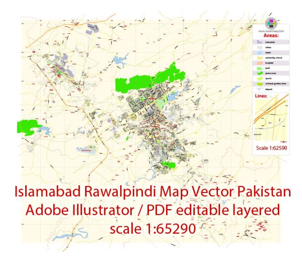
Islamabad and Rawalpindi, situated in the northern part of Pakistan, are two distinct but closely connected cities. Here’s a brief overview of the history of their urban development:
Rawalpindi:
- Early History: Rawalpindi has a rich history that dates back to ancient times. The region has been inhabited for centuries, and historical evidence suggests the presence of ancient trade routes passing through the area.
- British Era: During the British colonial period, Rawalpindi gained strategic importance as a garrison town. It served as a major military and administrative center, and its development was influenced by British urban planning principles.
- Partition and Independence (1947): The partition of British India in 1947 had a significant impact on Rawalpindi. The city experienced an influx of refugees and underwent demographic changes.
- Military Influence: Rawalpindi has been closely associated with the military due to its strategic location near the capital city (Karachi before Islamabad) and its role as a garrison town. The presence of military institutions has influenced the city’s development.
Islamabad:
- Planning and Construction: Islamabad, the capital of Pakistan, was planned and constructed in the early 1960s. The task of designing the city was assigned to the Greek architect and town planner Constantinos Apostolou Doxiadis. The city was purposefully built to replace Karachi as the capital.
- Strategic Location: Islamabad was chosen for its central location and its proximity to Rawalpindi. The twin cities were designed to complement each other, with Rawalpindi serving as a commercial and military hub while Islamabad became the political and administrative center.
- Green City Design: Islamabad is known for its well-planned layout and greenery. The city is divided into sectors, each with its own commercial and residential areas. Parks, green belts, and natural features are integrated into the urban design to create a more environmentally friendly and aesthetically pleasing landscape.
- Government and Diplomatic Hub: As the capital city, Islamabad houses government offices, diplomatic missions, and key institutions. This has contributed to the city’s growth and development as a political and administrative center.
Urban Connectivity:
- Transportation: Over the years, both cities have developed a network of roads and highways to enhance connectivity. The Rawalpindi-Islamabad Metrobus service and the construction of the Islamabad Expressway are examples of efforts to improve transportation.
- Economic Growth: The urban development of Islamabad and Rawalpindi has been driven by economic growth and increased urbanization. Both cities have witnessed the rise of commercial and residential areas, shopping centers, and industrial zones.
- Population Growth: The population of both cities has grown significantly over the years, leading to the expansion of urban areas and the need for infrastructure development.
The urban development of Islamabad and Rawalpindi is an ongoing process, influenced by economic, political, and social factors. The symbiotic relationship between these twin cities continues to shape their growth and development.


 Author: Kirill Shrayber, Ph.D. FRGS