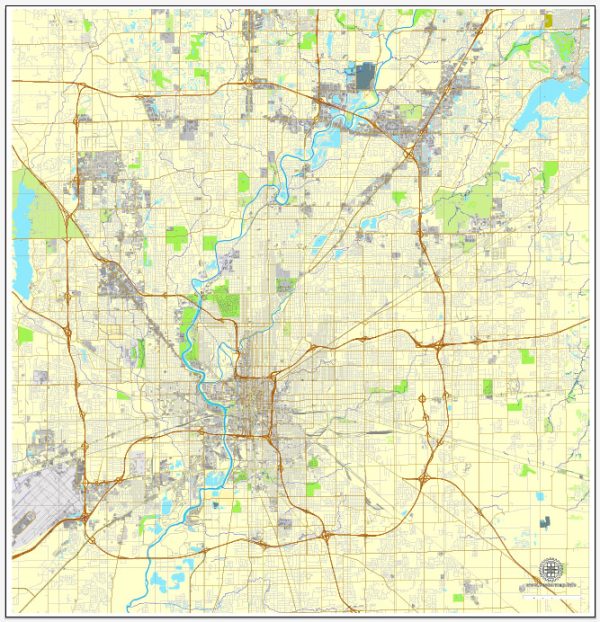
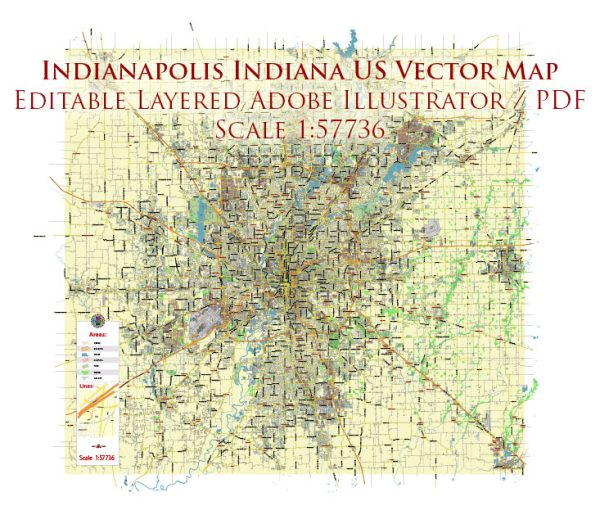
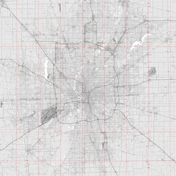
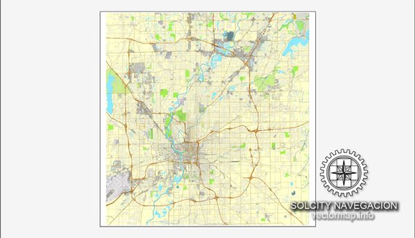
Indianapolis, the capital city of the U.S. state of Indiana, has a rich history of urban development that reflects the broader trends and challenges faced by American cities. The city’s growth and transformation over the years can be traced through various key phases.
- Founding and Early Growth (1820s-1850s): Indianapolis was founded in 1821 as the new state capital, selected for its central location within Indiana. The city’s layout was influenced by Alexander Ralston, who also worked on the design of Washington, D.C. Early development centered around the government and commerce, with the construction of the Statehouse and the establishment of the National Road, a major transportation route.
- Civil War and Industrialization (1860s-1890s): The Civil War had a significant impact on Indianapolis, as it became a key center for military training and production. After the war, industrialization spurred economic growth, attracting new residents and leading to the expansion of the city. Railroads played a crucial role in connecting Indianapolis to other parts of the country, facilitating trade and commerce.
- City Beautiful Movement (1890s-1920s): Like many other American cities, Indianapolis experienced the influence of the City Beautiful Movement during the late 19th and early 20th centuries. This period saw efforts to beautify the city through the creation of parks, boulevards, and architectural enhancements. The construction of the Soldiers’ and Sailors’ Monument at Monument Circle is a notable example of this movement.
- Post-War Suburbanization (1940s-1960s): In the post-World War II era, Indianapolis, like many cities, witnessed suburbanization. The availability of automobiles and the construction of highways contributed to the growth of suburban communities. This trend also led to changes in the urban landscape, with the development of shopping centers and the expansion of residential areas beyond the city core.
- Unigov and Modern Era (1970s-Present): In 1970, Indianapolis implemented a unique government consolidation known as Unigov, merging the city with Marion County. This move aimed to streamline services and address issues of urban sprawl. Indianapolis has since experienced significant economic development, with the revitalization of downtown areas, the construction of sports and convention facilities, and efforts to attract major events like the Indianapolis 500.
- Cultural and Sporting Hub: Indianapolis has also worked to establish itself as a cultural and sporting hub. The city is home to numerous museums, theaters, and cultural events. Additionally, its sports scene, particularly with the iconic Indianapolis Motor Speedway and the Indianapolis Colts (NFL) franchise, has played a vital role in shaping the city’s identity.
- Challenges and Renewal: Like many cities, Indianapolis faces challenges such as infrastructure needs, economic disparities, and addressing the needs of diverse communities. Urban renewal projects have been ongoing, with a focus on sustainable development, historic preservation, and fostering a vibrant urban core.
Overall, the history of Indianapolis reflects the broader narrative of American urban development, from its early days as a planned capital city to its role as a dynamic and evolving metropolitan center in the 21st century.


 Author: Kirill Shrayber, Ph.D. FRGS