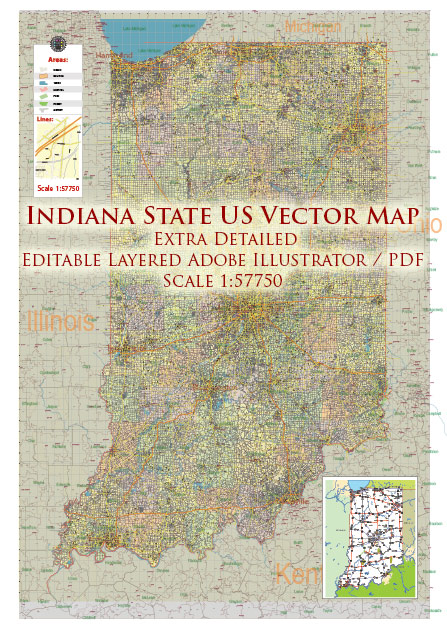
Indiana’s urban development has a rich history that reflects the state’s economic, social, and cultural evolution. Here is a general overview of the key aspects of Indiana’s urban development:
- Early Settlement and Trading Posts (17th-18th centuries):
- The earliest urban developments in Indiana were trading posts established by European settlers and fur traders along the waterways, including the Wabash and Ohio Rivers.
- Vincennes, founded in 1732, is one of the oldest European settlements in Indiana. It served as a hub for fur trading and played a crucial role during the territorial period.
- Statehood and the Canal Era (early 19th century):
- Indiana became a state in 1816, and during the early 19th century, there was a focus on improving transportation infrastructure.
- The construction of canals, such as the Wabash and Erie Canal, played a significant role in connecting different parts of the state and facilitating economic growth.
- Railroad Expansion (mid-19th century):
- The mid-19th century saw the rapid expansion of railroads, connecting Indiana’s cities and towns to national markets.
- Cities like Indianapolis became major railroad hubs, facilitating the transportation of goods and people.
- Industrialization and Economic Growth (late 19th-early 20th centuries):
- The late 19th century marked the industrialization of Indiana, with cities like Gary and South Bend becoming centers of steel production.
- Indianapolis, the state capital, grew as an industrial and commercial hub.
- Post-World War II Suburbanization (mid-20th century):
- Like many other states, Indiana experienced suburbanization in the mid-20th century, with people moving from cities to suburban areas.
- The construction of interstate highways, such as I-65 and I-70, facilitated commuting and contributed to the growth of suburban communities.
- Rust Belt Challenges (late 20th century):
- In the late 20th century, Indiana, particularly its northern industrial cities, faced economic challenges due to deindustrialization and the decline of the manufacturing sector.
- Cities like Gary struggled with economic decline and population loss.
- Urban Revitalization and Redevelopment (late 20th century-present):
- In recent decades, many Indiana cities have undergone urban revitalization efforts. Downtown areas have been redeveloped, with a focus on cultural amenities, entertainment, and mixed-use spaces.
- Indianapolis, for example, has experienced significant growth, hosting major sporting events and investing in cultural institutions.
- Education and Healthcare as Urban Anchors:
- Cities like Bloomington (home to Indiana University) and West Lafayette (home to Purdue University) have developed as educational hubs, contributing to their urban development.
- The healthcare sector, with institutions like the Indiana University Health in Indianapolis, has also played a role in shaping urban landscapes.
- Infrastructure Development in the 21st Century:
- Ongoing infrastructure development, including improvements to transportation networks and public spaces, continues to shape Indiana’s urban areas in the 21st century.
Indiana’s urban development is a dynamic process influenced by economic shifts, technological advancements, and changing demographics. The state’s cities have evolved over time, adapting to new challenges and opportunities.


 Author: Kirill Shrayber, Ph.D. FRGS