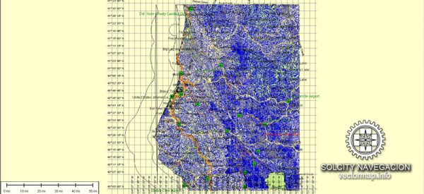
Humboldt County, located in Northern California, has a unique history of urban development shaped by its geography, economy, and cultural influences. The county is known for its stunning natural beauty, including redwood forests, rugged coastline, and diverse ecosystems. The history of urban development in Humboldt County can be traced through several key phases:
- Indigenous Peoples: Before European settlement, the region was inhabited by several Native American tribes, including the Wiyot, Hupa, Yurok, and Karuk. These indigenous communities had their own distinct cultures, relying on the rich natural resources of the area for sustenance.
- Early European Exploration and Settlement: European exploration and settlement in Humboldt County began in the mid-19th century. The discovery of gold in northern California attracted a wave of settlers, and the region underwent rapid changes. The city of Eureka, founded in 1850, became a major port and commercial center.
- Timber Industry: The late 19th and early 20th centuries saw the rise of the timber industry as a dominant force in Humboldt County. The vast redwood forests attracted logging operations, leading to the establishment of lumber mills and logging communities. The demand for timber played a crucial role in shaping the county’s economic landscape.
- Railroads and Transportation: The development of railroads in the late 19th century further facilitated the timber industry’s growth. The Northwestern Pacific Railroad played a vital role in transporting timber products to markets outside the region. The expansion of transportation infrastructure influenced the growth of urban centers.
- Economic Shifts and Decline of Timber: In the mid-20th century, changes in environmental awareness and regulations, coupled with a decline in the redwood timber supply, led to a significant shift in the local economy. The decline of the timber industry had a profound impact on the region’s urban development, with some towns experiencing economic downturns.
- Cultural and Environmental Conservation: Over time, there has been an increased focus on cultural and environmental conservation in Humboldt County. Efforts have been made to preserve the remaining redwood forests, and the region has become a hub for environmental activism and alternative lifestyles.
- Tourism and Recreation: In recent decades, tourism and recreation have become important factors in Humboldt County’s urban development. The county’s natural beauty, including attractions like the Avenue of the Giants and the Lost Coast, draws visitors interested in outdoor activities, ecotourism, and cultural events.
- Education and Healthcare: The development of educational institutions, such as Humboldt State University, has played a role in shaping the urban landscape. Additionally, healthcare facilities have become important components of the county’s infrastructure.
Humboldt County’s history reflects a complex interplay of economic, cultural, and environmental factors, and its urban development continues to be influenced by a balance between conservation efforts and the need for sustainable economic growth.


 Author: Kirill Shrayber, Ph.D. FRGS