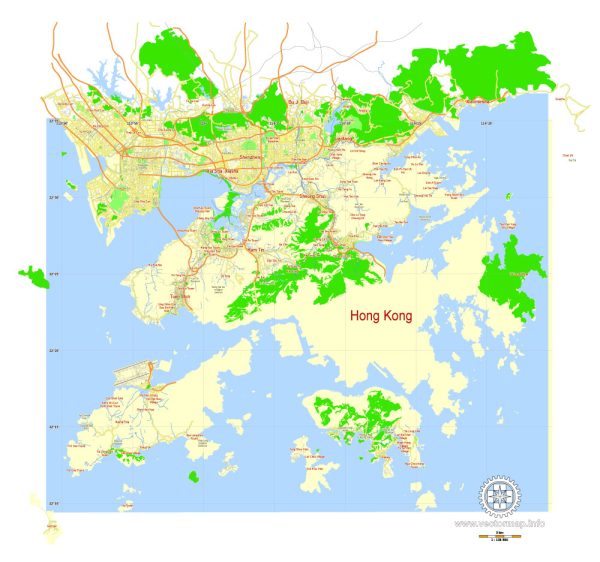
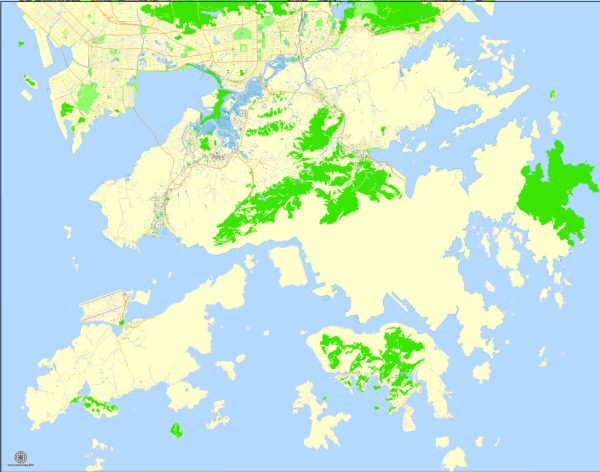
Hong Kong’s urban development is a fascinating story that reflects its unique history, geography, and economic transformation. Here is a brief overview of the history of urban development in Hong Kong, China:
- Early Settlements (Pre-19th Century):
- Before British colonization, Hong Kong was home to small fishing communities and was sparsely populated.
- The area became a part of the Qing Dynasty in the 18th century but remained relatively undeveloped.
- British Colonization (19th Century):
- In 1842, after the First Opium War, the Treaty of Nanking ceded Hong Kong Island to the British.
- The Second Convention of Peking in 1898 extended the British lease to the New Territories and 235 islands for 99 years.
- The British administration initiated infrastructure development, including roads, railways, and port facilities.
- Japanese Occupation (1941-1945):
- During World War II, Hong Kong fell under Japanese control from 1941 to 1945.
- The occupation brought significant challenges, including destruction of infrastructure and economic disruption.
- Post-War Reconstruction and Industrialization (1945-1960s):
- After the war, Hong Kong underwent rapid reconstruction and industrialization.
- A large influx of refugees from mainland China contributed to population growth and increased urbanization.
- The government implemented public housing and infrastructure projects to accommodate the growing population.
- 1970s-1990s: Economic Boom and Modernization:
- Hong Kong became a major global financial and trading hub during this period.
- The skyline transformed with the construction of numerous skyscrapers in Central, the financial district.
- The development of new towns in the New Territories provided housing for the expanding population.
- Handover to China (1997):
- The transfer of sovereignty from Britain to China in 1997 marked a significant turning point.
- Hong Kong became a Special Administrative Region (SAR) of China under the principle of “one country, two systems.”
- Despite the handover, Hong Kong maintained a high degree of autonomy in its legal and economic systems.
- 21st Century and Challenges:
- The 21st century saw continued economic growth but also challenges such as income inequality and housing affordability.
- The government has undertaken various urban renewal projects to upgrade older districts and improve living conditions.
- Recent Developments:
- Ongoing projects, such as the West Kowloon Cultural District and the Hong Kong-Zhuhai-Macao Bridge, demonstrate Hong Kong’s commitment to maintaining its global standing.
Throughout its history, Hong Kong’s urban development has been shaped by its status as a major international financial center, its colonial past, and its geographical constraints. The city continues to evolve, balancing economic development with social and environmental considerations.


 Author: Kirill Shrayber, Ph.D. FRGS