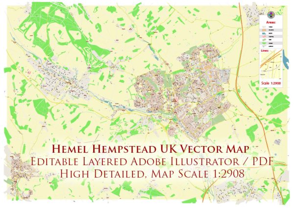
Hemel Hempstead, located in Hertfordshire, England, has a rich history of urban development that spans centuries. The town’s evolution reflects broader trends in urban planning, industrialization, and population growth.
- Medieval Origins (8th-16th centuries): The history of Hemel Hempstead can be traced back to the 8th century when it was a small agricultural settlement. The town’s name is believed to have Anglo-Saxon origins, with “Hemel” possibly referring to a river or water source. During the medieval period, the town developed around the parish church of St Mary’s.
- Market Town (16th-18th centuries): Hemel Hempstead began to grow as a market town in the 16th century, benefiting from its strategic location on important trade routes. The market square became a focal point for economic activities, and the town continued to thrive as a center for agriculture and commerce.
- Industrial Revolution (18th-19th centuries): The advent of the Industrial Revolution brought significant changes to Hemel Hempstead. The construction of the Grand Junction Canal in the late 18th century facilitated transportation of goods and raw materials. Industrialization led to the growth of manufacturing and spurred urban development. The railway connection in the mid-19th century further enhanced the town’s accessibility and economic potential.
- New Town Development (20th century): One of the most transformative periods in Hemel Hempstead’s history occurred in the mid-20th century when it was designated a New Town as part of the post-war effort to address housing shortages and urban overcrowding in London. The New Town Plan, implemented in 1947, involved significant redevelopment, expansion, and the creation of new housing estates.
- Modern Urbanization (late 20th century-present): The latter half of the 20th century and the early 21st century saw continued urbanization and population growth. New residential, commercial, and recreational areas were developed to accommodate the increasing population. The town also became a center for various industries and services.
- Regeneration and Infrastructure (ongoing): Hemel Hempstead has undergone regeneration projects aimed at enhancing the town’s infrastructure, amenities, and public spaces. The redevelopment of the Marlowes shopping area, improvements to transportation links, and the creation of modern housing developments are examples of ongoing efforts to ensure the town’s continued growth and prosperity.
In summary, Hemel Hempstead’s history of urban development reflects its evolution from a medieval market town to a thriving industrial center and, ultimately, a designated New Town in the 20th century. Ongoing efforts in regeneration and infrastructure development underscore the town’s commitment to adapting to the changing needs of its residents and maintaining its historical significance.


 Author: Kirill Shrayber, Ph.D.