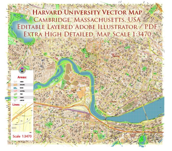
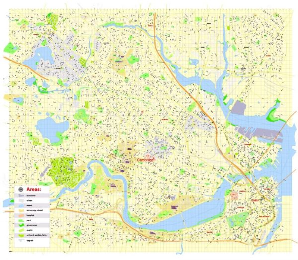
Harvard University, located in Cambridge, Massachusetts, has played a significant role in the history of urban development in the United States, particularly in the Greater Boston area. While Harvard itself is not a city planner, its presence has had a substantial impact on the growth and evolution of the surrounding urban landscape. Here are some key aspects of Harvard’s influence on urban development:
- Historical Context:
- Harvard University, founded in 1636, is one of the oldest institutions of higher education in the United States. As such, it has witnessed and contributed to centuries of urban development in the region.
- Campus Expansion:
- Over the years, Harvard’s campus has expanded, leading to changes in the physical and architectural landscape of Cambridge. The university’s development has often influenced the surrounding neighborhoods and infrastructure.
- Economic Impact:
- Harvard’s presence has had a significant economic impact on Cambridge and the Greater Boston area. The university is a major employer and a driver of economic activity, contributing to the overall prosperity of the region.
- Cultural and Intellectual Hub:
- Harvard’s reputation as a world-class academic institution has attracted scholars, researchers, and students from around the globe. This influx of talent has contributed to the cultural vibrancy of the region and has indirectly influenced the development of arts, sciences, and technology.
- Innovation and Technology:
- Harvard has been at the forefront of research and innovation. The university’s contributions to fields such as technology, medicine, and biotechnology have influenced the development of industries in the Greater Boston area, contributing to the region’s identity as an innovation hub.
- Collaboration with Local Government:
- Harvard has collaborated with local government and community organizations on various urban development initiatives. These collaborations have aimed to address issues such as affordable housing, transportation, and sustainability, influencing the broader urban development agenda in the region.
- Student Housing and Community Relations:
- The demand for student housing has led to changes in local housing markets and the character of residential neighborhoods in Cambridge. The relationship between Harvard students and the local community has been a topic of discussion and has influenced urban policies.
- Transportation and Infrastructure:
- The need to accommodate the university’s growth has contributed to transportation and infrastructure developments in the area. This includes considerations for public transit, roads, and other essential services.
It’s important to note that while Harvard has played a role in shaping the urban development of Cambridge and the Greater Boston area, it is just one of many factors influencing the region’s growth. The interplay of economic, cultural, and governmental forces has collectively shaped the history and evolution of urban development in this part of the United States.


 Author: Kirill Shrayber, Ph.D. FRGS