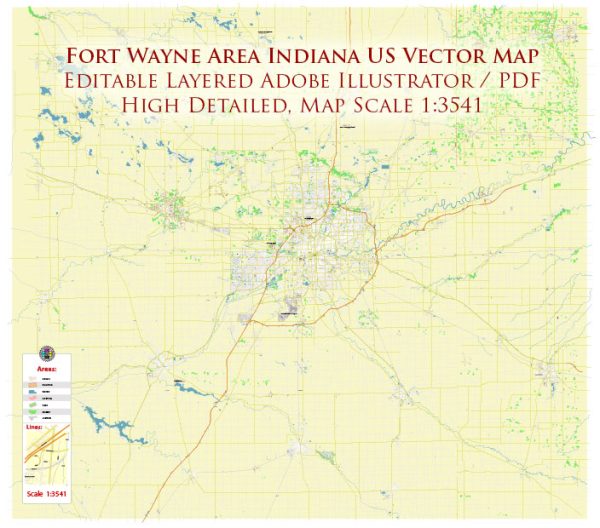
Fort Wayne, Indiana, has a rich history of urban development that reflects the broader trends in American urbanization. The city’s growth and transformation can be understood through key historical periods and factors that have shaped its urban landscape.
- Early Settlement and Fort Wayne’s Founding (18th and 19th centuries):
- Fort Wayne was originally established as a military outpost in the late 18th century, named after General “Mad” Anthony Wayne. The fort played a crucial role in the defense and development of the region during the early years of American expansion.
- Canal Era and Industrialization (mid-19th century):
- The construction of the Wabash and Erie Canal in the 1830s facilitated transportation and commerce, contributing to Fort Wayne’s growth as an industrial hub.
- The arrival of the railroad in the mid-19th century further enhanced the city’s connectivity, fostering economic development and attracting industries.
- Expansion and Economic Boom (late 19th to early 20th centuries):
- Fort Wayne experienced significant industrial growth, with companies like the Wayne Knitting Mills and the Berghoff Brewery becoming prominent employers.
- The city’s population expanded as immigrants, particularly from Germany and Ireland, arrived to work in the burgeoning industries.
- Urban Planning and Architecture (early to mid-20th century):
- Like many American cities, Fort Wayne underwent urban planning initiatives during the City Beautiful Movement, emphasizing beautification, park development, and the creation of grand boulevards.
- The construction of notable buildings, such as the Allen County Courthouse, reflected architectural styles prevalent in the early to mid-20th century.
- Post-World War II Suburbanization and Decline (mid-20th century):
- The post-war period saw suburbanization trends, leading to the growth of suburban communities surrounding Fort Wayne.
- As in many Rust Belt cities, Fort Wayne faced economic challenges in the latter half of the 20th century, with the decline of traditional industries impacting the city’s prosperity.
- Urban Renewal and Revitalization (late 20th century to present):
- In response to urban decline, Fort Wayne, like many cities across the U.S., implemented urban renewal projects in the mid-20th century. This involved the demolition of older structures and the construction of modern buildings.
- In recent decades, there has been a renewed focus on downtown revitalization, with efforts to restore and repurpose historic buildings, create green spaces, and attract new businesses and residents.
- Contemporary Developments:
- Today, Fort Wayne continues to evolve with a mix of historic preservation and modern development. The city has invested in infrastructure, cultural amenities, and educational institutions to enhance its appeal.
Fort Wayne’s urban development reflects the broader trends of American history, from its early military and industrial roots to its adaptation to post-industrial challenges and contemporary efforts to revitalize urban spaces. The city’s history is intertwined with the economic, social, and cultural forces that have shaped the United States over the centuries.


 Author: Kirill Shrayber, Ph.D. FRGS