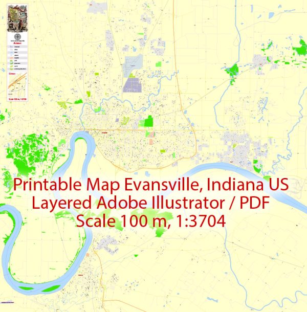
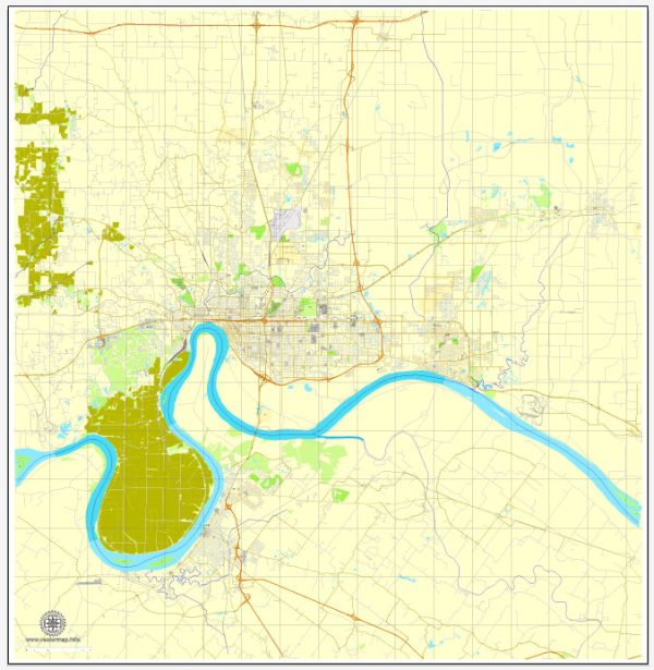
Evansville, Indiana, has a rich history of urban development that reflects the broader trends and changes in American society. The city, situated in the southwestern part of the state along the Ohio River, has evolved from a small frontier settlement into a thriving urban center. Here is a brief overview of the urban development history of Evansville:
- Early Settlement (1812-1850s): Evansville was officially established in 1812 and named after Robert Morgan Evans, one of the city’s founders. The area was initially inhabited by Native American communities, and European-American settlers gradually arrived. The town’s growth was closely tied to river transportation and trade along the Ohio River. By the 1830s, Evansville had become a hub for commerce and transportation, with steamboats playing a crucial role in the city’s development.
- Transportation and Industry (1850s-1900): The mid-19th century saw significant advancements in transportation and industry, contributing to Evansville’s growth. The expansion of railroads in the region further facilitated the movement of goods and people. The city became known for its diverse industrial base, including manufacturing, milling, and tobacco processing. This period marked the beginning of Evansville’s transition from a small river town to an industrial center.
- Economic Boom (1900-1950): The early 20th century brought about an economic boom for Evansville. The city continued to be a center for manufacturing, with industries such as automobile production, shipbuilding, and consumer goods manufacturing. World War II had a significant impact on Evansville, as many local industries shifted their production to support the war effort. This period of prosperity led to population growth and the expansion of the city’s infrastructure.
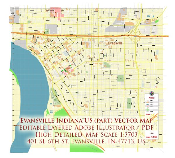
- Suburbanization and Urban Renewal (1950-1980): Like many American cities, Evansville experienced suburbanization during the mid-20th century. The construction of highways and the availability of automobiles allowed people to move away from the city center, leading to the development of suburbs. Urban renewal projects during the 1950s and 1960s aimed to revitalize the downtown area but often resulted in the demolition of historic structures. The construction of the Lloyd Expressway in the 1960s also had a significant impact on the city’s landscape.
- Contemporary Development (1980s-Present): In recent decades, Evansville has focused on revitalizing its downtown area and preserving its historic character. Efforts have been made to attract businesses, improve infrastructure, and enhance the quality of life for residents. The riverfront has been a focal point for redevelopment, with parks, entertainment venues, and residential developments contributing to the city’s modernization.
Throughout its history, Evansville has faced challenges and undergone transformations, reflecting the dynamic nature of urban development in the United States. The city continues to evolve, balancing its industrial heritage with efforts to create a vibrant and sustainable urban environment.

 Author: Kirill Shrayber, Ph.D. FRGS