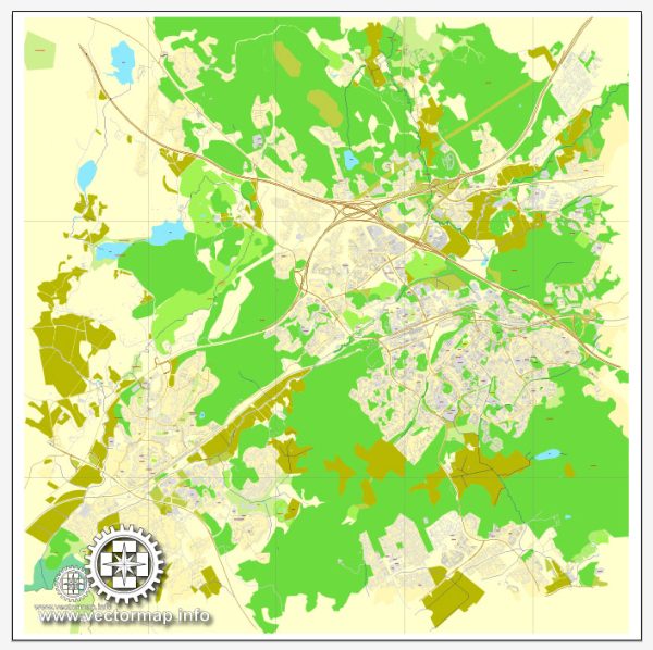
Espoo, located in southern Finland, is the second-largest city in the country by population. Its history of urban development reflects a journey from a primarily rural area to a modern, well-planned city. Here is an overview of Espoo’s history of urban development:
- Early Settlement:
- Espoo has a history dating back to medieval times, with the first mentions of settlements in the area appearing in historical documents as early as the 16th century.
- The region was primarily agrarian, with small villages and farms scattered across the landscape.
- Industrialization and Urbanization:
- The late 19th and early 20th centuries witnessed the industrialization of Finland, and this had an impact on Espoo.
- The growth of industries and businesses led to an influx of people into the region, and urbanization started to take place.
- Post-War Period:
- After World War II, there was a significant need for housing due to population growth and urbanization trends.
- Espoo, like many other cities, experienced a boom in construction during the post-war period, with the development of residential areas to accommodate the growing population.
- Planned Development:
- Espoo is known for its well-planned urban development. The city authorities have placed a strong emphasis on creating a balanced and sustainable living environment.
- The city has been divided into several districts, each with its own character and amenities. These districts include both residential and commercial areas, as well as green spaces.
- Education and Innovation:
- Espoo is home to the Aalto University campus, which is a hub for education and innovation. The university has played a significant role in shaping the city’s identity and attracting a diverse population of students and professionals.
- The presence of technology companies and research institutions has contributed to Espoo’s reputation as a center for innovation and technology.
- Modern Architecture:
- Espoo’s urban landscape features a mix of modern and traditional architecture. The city has embraced contemporary design in its newer developments, creating a visually appealing and functional environment.
- Green Spaces and Sustainability:
- Espoo is characterized by its commitment to green spaces and environmental sustainability. The city has parks, nature reserves, and a network of walking and cycling paths, promoting an active and eco-friendly lifestyle.
- Cultural and Recreational Facilities:
- The city has invested in cultural and recreational facilities, including theaters, museums, and sports complexes, providing residents with a wide range of activities and entertainment options.
In summary, Espoo’s history of urban development reflects a transition from a rural landscape to a modern, well-planned city with a focus on sustainability, innovation, and a high quality of life for its residents. The city continues to evolve, adapting to contemporary challenges while preserving its cultural heritage.


 Author: Kirill Shrayber, Ph.D. FRGS