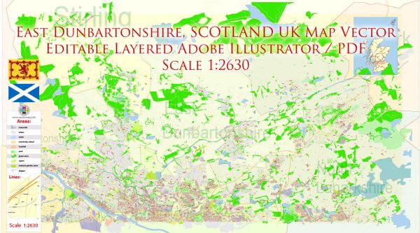
East Dunbartonshire is a council area located in the Central Belt of Scotland, United Kingdom. Historically, the region has a rich and varied history that has shaped its urban development. Here is a brief overview:
- Early Settlements: The area that is now East Dunbartonshire has evidence of early human settlement dating back to prehistoric times. The Romans also had a presence in this region, and remnants of their occupation, such as the Antonine Wall, can still be found.
- Medieval Period: During the medieval period, East Dunbartonshire was characterized by small villages and agricultural communities. The area was part of the broader historical region of Lennox. Castles and religious institutions were established, reflecting the political and social structures of the time.
- Industrial Revolution: The 18th and 19th centuries brought significant changes with the onset of the Industrial Revolution. Glasgow, a nearby city, became a major industrial hub, and the surrounding areas, including East Dunbartonshire, experienced population growth and increased economic activity. The development of railways and improved transportation links further contributed to urbanization.
- Urban Expansion: The late 19th and early 20th centuries saw the expansion of urban areas in East Dunbartonshire, as industries and businesses continued to grow. Towns such as Bearsden and Milngavie began to take shape, with the construction of residential areas and infrastructure.
- Post-War Period: Like many parts of the UK, East Dunbartonshire underwent changes in the post-World War II period. There was a surge in housing construction to accommodate the growing population, and new suburbs emerged. This period marked the transition from an industrial to a more service-oriented economy.
- Contemporary Development: In recent decades, East Dunbartonshire has witnessed further urban development, with a focus on modern infrastructure, education, and amenities. The area is known for its green spaces, including parks and nature reserves, which contribute to a high quality of life.
- Demographic Changes: The demographic composition of East Dunbartonshire has also evolved over the years, reflecting broader trends in Scotland and the UK. Changes in industry, technology, and lifestyle have influenced the population dynamics of the region.
Overall, East Dunbartonshire’s history of urban development is characterized by a transition from rural and agricultural roots to a more urban and suburban landscape, shaped by historical events, economic shifts, and societal changes over the centuries.


 Author: Kirill Shrayber, Ph.D.