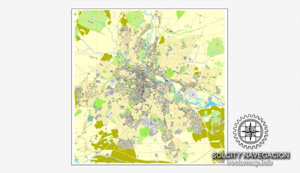
Derby, located in the East Midlands of England, has a rich history of urban development that spans centuries. Here’s a brief overview of key historical periods and milestones in Derby’s urban development:
- Roman Period (AD 43-410): The Romans established a fort at the site of Derby, known as Derventio, around AD 50. It served as a strategic outpost for the control of the local area.
- Medieval Period (5th-15th centuries): Derby grew as a market town during the medieval period. The arrival of the Normans in 1066 brought the construction of Derby Castle, which played a role in the town’s defense. The market became a focal point for trade, and the town continued to develop around the River Derwent.
- Industrial Revolution (18th-19th centuries): Derby played a significant role in the Industrial Revolution. The opening of the Derby Canal in the 1790s and the arrival of the railway in the mid-19th century enhanced the town’s connectivity and facilitated the transportation of goods. Industries such as silk milling, cotton spinning, and engineering flourished during this period.
- 18th and 19th Centuries: The 18th and 19th centuries saw the expansion of Derby as an industrial center. The founding of the world-famous Derby Porcelain Factory in 1750 and the establishment of the Royal Crown Derby Porcelain Company in 1756 contributed to the town’s reputation for craftsmanship.
- Victorian Era (19th century): Victorian Derby experienced further industrialization and urbanization. The construction of notable buildings, including the Derbyshire Royal Infirmary and the Derby Industrial and General Benefit Building Society, reflects the prosperity and growth of the town during this period.
- 20th Century: The 20th century brought both challenges and opportunities to Derby. The decline of traditional industries led to economic restructuring, but the town adapted by becoming a hub for engineering and manufacturing, particularly in the aerospace and rail industries. The construction of the Rolls-Royce factory in the 20th century solidified Derby’s reputation as a center for aerospace engineering.
- Post-War Period: Like many British cities, Derby underwent post-war redevelopment, including the construction of new housing estates and infrastructure projects. The city adapted to changing economic circumstances, with a shift towards service industries.
- Contemporary Period: In recent decades, Derby has continued to evolve as a modern city. The redevelopment of the city center, including the Westfield Derby shopping center, has contributed to its urban renewal. The city has also invested in cultural and educational facilities, such as the QUAD arts center and the University of Derby.
Throughout its history, Derby has faced challenges and opportunities, evolving from a medieval market town to a vibrant city with a diverse economy. The traces of its rich history are evident in its architecture, landmarks, and cultural institutions.


 Author: Kirill Shrayber, Ph.D. FRGS