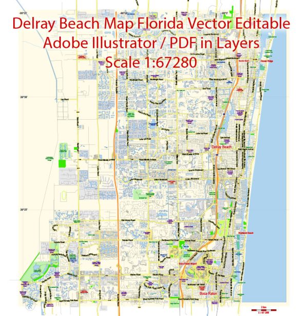
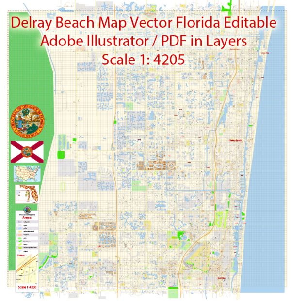
Delray Beach, located in Palm Beach County, Florida, has a rich history of urban development that spans over a century. The city’s growth and evolution reflect broader trends in Florida’s development, from a small agricultural community to a vibrant urban center. Here is a brief overview of Delray Beach’s history of urban development:
- Early Settlement and Incorporation (late 19th century):
- Delray Beach was originally inhabited by the indigenous Jaega people. European settlers, primarily farmers, started arriving in the late 1800s.
- The area was known for pineapple farming, which was a significant industry during the late 19th and early 20th centuries.
- The city was officially incorporated in 1923.
- Boom and Bust (1920s-1930s):
- During the Florida land boom of the 1920s, Delray Beach experienced rapid growth. The population increased, and the city became a popular destination for tourists and winter residents.
- However, like many Florida cities, Delray Beach was affected by the Great Depression in the 1930s, leading to economic challenges and a slowdown in development.
- Post-World War II Era (1940s-1950s):
- After World War II, Delray Beach, like many other American cities, experienced a population boom and suburbanization. The availability of automobiles and improved transportation infrastructure contributed to this trend.
- The city’s development included the expansion of residential neighborhoods and the establishment of commercial districts.
- Integration and Civil Rights Movement (1950s-1960s):
- Delray Beach, like many Southern cities, faced the challenges of racial segregation during the mid-20th century. The Civil Rights Movement of the 1950s and 1960s brought about significant changes in social and legal structures.
- Urban Renewal and Redevelopment (1970s-1980s):
- In the 1970s and 1980s, Delray Beach, like many cities across the United States, engaged in urban renewal efforts. This included the redevelopment of downtown areas and the enhancement of public spaces.
- The Old School Square Historic Arts District, established in the 1980s, became a cultural hub with museums, theaters, and galleries.
- Contemporary Development (1990s-Present):
- Delray Beach has continued to grow and evolve in recent decades. The city has attracted businesses, tourism, and residents seeking a coastal lifestyle.
- The Atlantic Avenue downtown area is a vibrant cultural and commercial center, known for its shops, restaurants, and nightlife.
- Challenges and Future Directions:
- Like many coastal communities, Delray Beach faces challenges related to climate change, sea-level rise, and sustainable development. Efforts to address these challenges are likely to shape the city’s future development.
Overall, Delray Beach’s history of urban development reflects the broader trends of Florida’s growth, from agricultural roots to a dynamic and diverse urban center. The city’s commitment to preserving its history while embracing contemporary development has contributed to its unique character.


 Author: Kirill Shrayber, Ph.D. FRGS