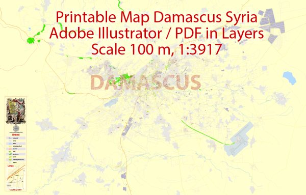
Damascus, one of the oldest continuously inhabited cities in the world, has a rich history of urban development that spans thousands of years. Here’s an overview of the key phases in the urban development of Damascus:
- Ancient Origins (c. 3000 BCE – 100 BCE):
- Damascus is believed to have been founded around 3000 BCE, making it one of the oldest cities in the Middle East.
- It was an important center for trade and commerce due to its strategic location along the crossroads of major trade routes.
- During the Bronze Age, Damascus was part of various ancient empires, including the Amorite, Hittite, and Egyptian civilizations.
- Classical Period (100 BCE – 636 CE):
- The city became a significant part of the Roman Empire and later the Byzantine Empire.
- Under Roman rule, Damascus prospered as a major trading hub and administrative center.
- The city’s architecture flourished with the construction of temples, amphitheaters, and other Roman-style structures.
- Islamic Period (636 CE Onward):
- Damascus played a crucial role in early Islamic history. It was conquered by the Muslim Caliphate in 636 CE.
- The Umayyad Caliphate (661–750 CE) chose Damascus as its capital, leading to a period of significant development. The Umayyad Mosque, one of the oldest and largest mosques in the world, was built during this time (completed in 715 CE).
- The city became known for its gardens, palaces, and advanced water supply systems, reflecting the Islamic architectural and urban planning principles.
- Medieval Period (11th – 15th Century):
- Damascus continued to be a major cultural and economic center during the Islamic medieval period.
- The city witnessed the construction of many madrasas, markets, and caravanserais, contributing to its status as a hub for education, commerce, and trade.
- Various Islamic dynasties, including the Seljuks and Ayyubids, ruled Damascus during this time.
- Ottoman Rule (16th – Early 20th Century):
- Damascus became part of the Ottoman Empire in 1516, and its urban development continued under Ottoman rule.
- The Ottomans added their architectural and cultural influences, including mosques, khans (inns), and other public buildings.
- Modern Era (20th Century Onward):
- Damascus became the capital of an independent Syria after the fall of the Ottoman Empire following World War I.
- The city experienced modernization and urban expansion in the 20th century, with the development of new neighborhoods, infrastructure, and institutions.
- Unfortunately, recent years have seen challenges due to the Syrian Civil War, impacting the city’s historic sites and urban fabric.
Throughout its long history, Damascus has absorbed various cultural influences, resulting in a unique blend of architectural styles and urban planning. The city’s old walled quarter, with its narrow streets and historic buildings, remains a UNESCO World Heritage Site, reflecting its rich history and cultural significance.


 Author: Kirill Shrayber, Ph.D. FRGS