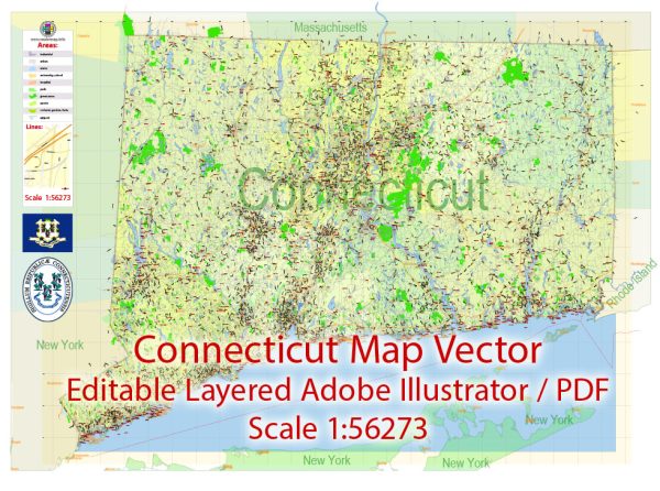
Connecticut, one of the original thirteen colonies, has a rich history of urban development that reflects the broader trends in American history. The state’s urban development can be traced through several key periods:
- Colonial Era (1636–1776):
- Connecticut was settled in the 1630s, and its early urban centers were often established along rivers for trade and transportation. Hartford, founded in 1635, and New Haven, founded in 1638, were two of the earliest settlements.
- These early urban areas were characterized by compact, walkable designs with a central town green or market square.
- Industrialization (late 18th century–mid-19th century):
- The Industrial Revolution had a significant impact on Connecticut’s urban development. Cities like Hartford and New Haven saw the growth of manufacturing industries, particularly in textiles, firearms, and transportation equipment.
- The influx of immigrants and rural-to-urban migration led to the expansion of urban areas, with the development of industrial districts and tenement housing.
- Post-Civil War Reconstruction (1865–1900):
- The post-Civil War period saw the expansion of railroad networks, further connecting urban centers and fostering economic growth.
- Cities expanded with the construction of more diverse architectural styles, including the Victorian-era buildings. Suburbs began to develop as transportation improved.
- Progressive Era and Early 20th Century (1900–1945):
- The Progressive Era brought about social and political reforms, influencing urban planning and development. Cities like Bridgeport and Waterbury experienced further industrialization.
- The construction of parks, civic centers, and the City Beautiful Movement influenced urban design during this period.
- Mid-20th Century Suburbanization (1945–1970):
- The post-World War II era witnessed significant suburbanization trends in Connecticut. As highways were built, suburbs expanded, and many urban residents moved to the suburbs.
- This led to the decline of some urban areas as the population and economic activities shifted outward.
- Late 20th Century and Beyond (1970–present):
- Connecticut’s cities faced economic challenges in the late 20th century as manufacturing declined. However, efforts at urban revitalization, including the redevelopment of waterfronts and downtown areas, have been ongoing.
- The rise of the knowledge economy has led to the growth of high-tech industries in cities like Stamford, and efforts have been made to attract young professionals to urban areas.
- Urban Renewal and Redevelopment:
- Urban renewal projects in the mid-20th century aimed at revitalizing deteriorating urban areas. These efforts often involved the demolition of older structures and the construction of modern buildings.
- In recent decades, there has been a shift towards sustainable and mixed-use development, with a focus on preserving historic architecture.
Throughout Connecticut’s history, the state’s urban areas have adapted to changing economic, social, and cultural trends. Urban development continues to be shaped by a balance between preserving historical character and meeting the needs of a modern, dynamic population.


 Author: Kirill Shrayber, Ph.D. FRGS