General information on how cities often approach road and street development:
- Infrastructure Planning: Cities typically have long-term plans for infrastructure development. This includes roads, streets, bridges, and public transportation systems. These plans take into account factors like population growth, traffic patterns, and economic development.
- Maintenance and Upgrades: Regular maintenance of existing roads is crucial to ensure safety and efficiency. Upgrades may also be planned to accommodate increased traffic, improve safety, or enhance the overall urban environment.
- Public Transportation: Cities often invest in public transportation infrastructure, such as bus and tram systems, to reduce traffic congestion and provide sustainable transportation options.
- Pedestrian and Cyclist Infrastructure: Many cities aim to become more pedestrian and cyclist-friendly. This involves creating dedicated lanes, pedestrian zones, and bike-sharing programs.
- Smart City Initiatives: Some cities incorporate technology into their infrastructure, using smart traffic management systems, sensors, and data analytics to optimize traffic flow and improve overall efficiency.
- Environmental Considerations: Urban planners may prioritize environmentally sustainable practices in road development. This can include green spaces, tree planting, and measures to reduce pollution.
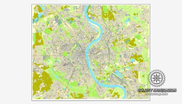
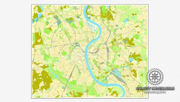
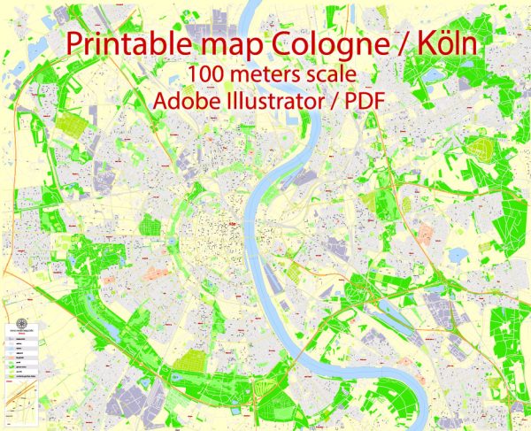
To get the most accurate and recent information about road and street development in Cologne, consider checking local news sources, official city websites, or reaching out to relevant government departments or transportation agencies. They often provide updates on ongoing and upcoming projects, as well as any potential impacts on traffic and transportation in the area.


 Author: Kirill Shrayber, Ph.D. FRGS