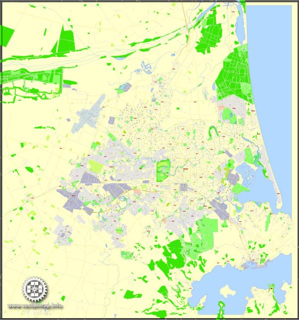
Christchurch, located on the east coast of New Zealand’s South Island, has a rich history of urban development that spans back to the 19th century. Here’s an overview of key historical developments in Christchurch’s urban growth:
- Founding and Early Settlement (1850s):
- Christchurch was established in 1850 by the Canterbury Association, an organization founded by Edward Gibbon Wakefield. The city was planned as a model of English society in the Southern Hemisphere.
- The layout of the city was based on a grid pattern with a central square, which is now known as Cathedral Square. The Anglican Cathedral, Christ Church, became the centerpiece.
- Architectural Heritage (Late 19th Century):
- Many of Christchurch’s early buildings were constructed in a Gothic Revival style, reflecting the architectural trends of the time.
- The Christchurch Arts Centre, initially home to Canterbury College, is a notable example of Victorian and Edwardian architecture.
- Growth and Economic Expansion (Late 19th to Early 20th Century):
- Christchurch experienced significant growth during the late 19th and early 20th centuries, driven by agricultural and industrial development.
- The construction of the Lyttelton Rail Tunnel in 1867 facilitated trade and contributed to the city’s economic prosperity.
- Earthquakes and Rebuilding (20th Century):
- Christchurch has faced several earthquakes throughout its history. One of the most significant was the Hawke’s Bay earthquake in 1931, which caused damage to buildings in the city.
- However, the most devastating events were the earthquakes in 2010 and 2011. The 2011 earthquake, in particular, caused widespread destruction, especially to the central business district.
- Post-Earthquake Redevelopment:
- Following the earthquakes, Christchurch underwent extensive rebuilding and redevelopment. The city adopted innovative and sustainable urban planning principles to create a more resilient and modern urban environment.
- The iconic Christ Church Cathedral suffered significant damage, and debates about its restoration or replacement have been ongoing.
- Contemporary Urban Development:
- Christchurch’s urban development in recent years has focused on creating a vibrant, resilient, and sustainable city. The Residential Red Zone, areas most affected by the earthquakes, have been repurposed for parks and community spaces.
- The city has embraced a mix of modern architecture and historic preservation, creating a unique blend of old and new.
- Transportation and Infrastructure:
- The city has invested in improving its transportation infrastructure, including the development of cycling lanes and public transportation options.
- Initiatives such as the Christchurch Central Recovery Plan have guided the revitalization of the central city, encouraging mixed-use developments and promoting a pedestrian-friendly environment.
Overall, Christchurch’s history of urban development reflects a blend of colonial planning, economic growth, natural challenges, and contemporary efforts to create a resilient and livable city. The city continues to evolve, embracing both its heritage and the need for modern, sustainable urban living.


 Author: Kirill Shrayber, Ph.D. FRGS