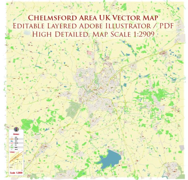
Chelmsford, located in Essex, England, has a rich history of urban development that spans centuries. The town’s evolution is marked by various historical periods, reflecting the broader changes in England’s social, economic, and political landscape. Here’s a brief overview of Chelmsford’s history of urban development:
- Early Settlements and Roman Influence (Pre-12th Century): Chelmsford has ancient roots dating back to prehistoric times, but significant urban development began with the Roman occupation of Britain. The Romans established a settlement here, and evidence of their presence, including a Roman fort and artifacts, has been discovered.
- Medieval Period (12th – 15th Century): The town grew during the medieval period, with the construction of a parish church dedicated to St. Mary the Virgin. Chelmsford also became a market town, playing a role in the regional economy. The town’s street layout and market square began to take shape during this period.
- Tudor and Stuart Eras (16th – 17th Century): Chelmsford continued to flourish during the Tudor and Stuart periods. The town’s economic importance increased, and it became a center for trade and commerce. The Chelmer and Can rivers, which run through the town, facilitated transportation and trade. Architecture from this time, including Tudor-style buildings, is still visible in parts of Chelmsford.
- Industrial Revolution (18th – 19th Century): The Industrial Revolution had a profound impact on Chelmsford. The arrival of the railway in the 19th century connected the town to London and other major cities, boosting industrial and commercial activities. Factories and mills emerged along the rivers, contributing to the town’s growth. Chelmsford’s industrialization transformed it into a key manufacturing hub.
- 20th Century: The 20th century saw further urbanization and modernization. The population grew, and urban planning became more organized. The town expanded with the development of residential areas, schools, and infrastructure. Chelmsford maintained its economic significance, particularly in industries like engineering and electrical manufacturing.
- Contemporary Development (21st Century): Chelmsford continues to evolve in the 21st century. Urban renewal projects, infrastructure improvements, and efforts to enhance the town’s cultural and recreational amenities are ongoing. The town’s proximity to London and its commuter-friendly transportation links contribute to its appeal as a place to live and work.
Throughout its history, Chelmsford has managed to preserve elements of its past while adapting to the changing needs of society. Today, it stands as a vibrant town with a mix of historic architecture and modern amenities, reflecting its diverse and dynamic history of urban development.


 Author: Kirill Shrayber, Ph.D. FRGS