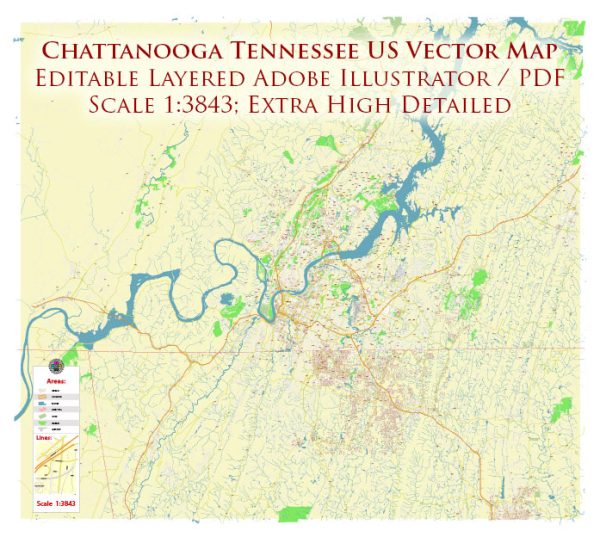
Chattanooga, located in southeastern Tennessee along the Tennessee River, has a rich history of urban development that spans several centuries. The city’s growth and transformation have been influenced by various economic, social, and technological factors.
- Native American Influence (Pre-19th Century): The area that is now Chattanooga was initially inhabited by Native American tribes, including the Cherokee. The river provided a valuable resource for transportation and trade, making the region a significant hub for indigenous communities.
- Early Settlement and Industrialization (19th Century): Chattanooga’s strategic location along the river contributed to its development as a transportation center. In the early 19th century, the town was established, and by the mid-1800s, it became a critical railway hub. The arrival of the Western and Atlantic Railroad in 1850 enhanced Chattanooga’s role in transportation and commerce.
- Civil War Impact (1861-1865): Chattanooga played a pivotal role during the Civil War. The city changed hands several times between Union and Confederate forces due to its strategic importance. The Battle of Chattanooga in 1863 was a turning point, leading to Union control and securing the city’s place in history.
- Post-Civil War Reconstruction and Growth (Late 19th Century): After the war, Chattanooga experienced a period of reconstruction and economic growth. The city’s industrial base expanded, and it became known for iron and steel production, earning it the nickname “Dynamo of Dixie.”
- Challenges and Decline (Early to Mid-20th Century): Like many industrial cities, Chattanooga faced challenges during the early to mid-20th century. Economic downturns and environmental issues, such as air pollution, contributed to a decline in the city’s prosperity.
- Renewal and Revitalization (Late 20th Century – Present): In the late 20th century, Chattanooga underwent a significant transformation. The city focused on revitalizing its downtown area, reclaiming riverfront spaces, and addressing environmental concerns. The Tennessee Aquarium, opened in 1992, became a symbol of the city’s commitment to renewal.
- Tech and Innovation Hub: In recent decades, Chattanooga has positioned itself as a hub for technology and innovation. The city implemented one of the first citywide gigabit-per-second fiber-optic networks, attracting tech startups and fostering a culture of entrepreneurship.
- Riverfront Development and Outdoor Recreation: The Tennessee River and the surrounding natural beauty have played a central role in the city’s recent development. Chattanooga has invested in riverfront parks, walking and biking trails, and outdoor amenities, promoting a healthy and active lifestyle.
- Cultural Scene and Tourism: Chattanooga’s cultural scene has flourished, with museums, galleries, and a vibrant arts community. Tourism has also become a significant economic driver, with attractions like the Chattanooga Choo Choo, the Incline Railway, and the Riverwalk drawing visitors.
Overall, Chattanooga’s urban development reflects a combination of historical influences, industrial growth, challenges, and a commitment to revitalization, making it a city with a diverse and dynamic history.


 Author: Kirill Shrayber, Ph.D. FRGS