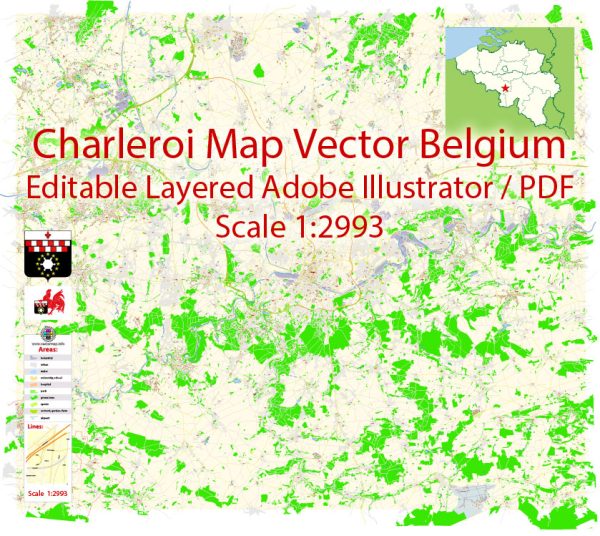
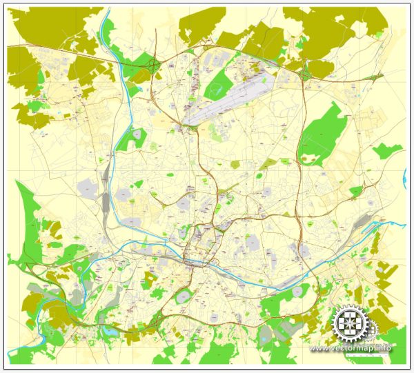
Charleroi, located in the Wallonia region of Belgium, has a rich history of urban development that spans several centuries. Here is a brief overview of the key phases in the city’s urban evolution:
- Industrial Revolution (19th Century): Charleroi’s urban development was significantly influenced by the Industrial Revolution. The city became an industrial powerhouse, particularly in the iron and steel industry. The presence of coal mines and steel factories attracted a large population, leading to the rapid expansion of the city.
- Urbanization and Population Growth: The 19th and early 20th centuries saw a surge in population due to industrialization. The city’s infrastructure expanded to accommodate the growing number of residents. New neighborhoods, industrial zones, and transportation networks were established, shaping the city’s layout.
- Art Nouveau Architecture: In the early 20th century, Charleroi, like many European cities, experienced an artistic and architectural movement known as Art Nouveau. This style is characterized by intricate designs, curved lines, and nature-inspired motifs. Some buildings in Charleroi reflect this artistic trend, adding a unique aesthetic to the urban landscape.
- Post-World War II Reconstruction: The city faced significant damage during World War II, leading to a period of reconstruction in the post-war years. This era witnessed efforts to rebuild and modernize the city’s infrastructure, including housing, public buildings, and transportation systems.
- Deindustrialization and Economic Challenges: In the latter half of the 20th century, Charleroi, like many industrial cities, faced challenges associated with deindustrialization. The decline of traditional industries led to economic struggles and changes in the urban landscape as abandoned industrial sites needed repurposing.
- Contemporary Urban Renewal: In recent years, Charleroi has undergone efforts to revitalize its urban spaces. Urban renewal projects have aimed to transform former industrial zones into modern, mixed-use areas. The city has invested in cultural initiatives, public spaces, and sustainable development to attract residents and businesses.
- Transportation Infrastructure: Charleroi has developed a comprehensive transportation network, including a well-connected public transportation system. The city is known for its extensive tram network, which facilitates mobility within the urban area and connects to the broader region.
- Cultural and Recreational Spaces: The city has also focused on enhancing its cultural and recreational offerings. The creation of parks, museums, and cultural centers has contributed to a more vibrant urban environment, making Charleroi not only an industrial hub but also a diverse and dynamic city.
Understanding Charleroi’s history of urban development provides insights into the economic, social, and cultural forces that have shaped the city over time. Today, Charleroi continues to evolve as it seeks to balance its industrial heritage with contemporary urban challenges and opportunities.


 Author: Kirill Shrayber, Ph.D. FRGS