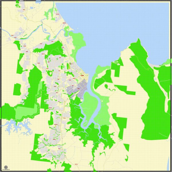
Cairns, located in Queensland, Australia, has a rich history of urban development that spans several centuries. The area’s history can be divided into various stages, each contributing to its modern urban landscape. Here’s an overview of Cairns’ urban development history:
- Indigenous Inhabitants: Prior to European settlement, the Cairns region was inhabited by various Indigenous Australian groups, including the Yidinji and Djabugay peoples. They had a deep connection to the land, with a history that dates back thousands of years. These Indigenous communities lived a semi-nomadic lifestyle, relying on hunting, gathering, and fishing.
- Early European Settlement: The area around Cairns was first explored by Europeans in the early 19th century. It was named after William Wellington Cairns, the Governor of Queensland from 1875 to 1877. The establishment of a customs post in 1876 played a significant role in the region’s early development.
- Port Development: Cairns’ growth was closely tied to its port. The town’s expansion was driven by its role as a port for the export of gold, minerals, timber, and agricultural products from the surrounding regions. The establishment of a railway connection to the Atherton Tableland in the late 1800s further facilitated trade.
- Sugar Industry: The sugar industry played a vital role in Cairns’ development during the late 19th and early 20th centuries. Many sugar cane plantations were established in the surrounding areas, leading to the construction of sugar mills and processing facilities. The town became a hub for the sugar trade.
- World War II: During World War II, Cairns served as a significant military base for the Allied forces. The war had a substantial impact on the town, as it led to infrastructure development and population growth.
- Tourism: In the post-war era, Cairns experienced significant changes in its economy and urban development. The opening of the Great Barrier Reef to tourism in the 1970s marked a turning point. Cairns became a major gateway for tourists visiting the reef and tropical rainforests.
- Modern Urbanization: The late 20th and early 21st centuries saw substantial urban development in Cairns. The city expanded with new residential areas, commercial districts, and infrastructure improvements. Tourism, education, and healthcare sectors also grew, contributing to the city’s economy.
- Environmental Concerns: As a gateway to the Great Barrier Reef and surrounded by lush rainforests, Cairns has also faced environmental challenges. Efforts have been made to balance urban development with environmental conservation, leading to sustainable practices and eco-tourism initiatives.
- Cultural Diversity: Cairns is known for its multicultural population, reflecting the diversity of Australia’s immigration patterns. The city hosts various cultural events, festivals, and a thriving arts scene, adding to its vibrant urban fabric.
Cairns’ history of urban development is a blend of economic drivers, natural beauty, and cultural influences. The city continues to evolve while preserving its unique connection to the tropical environment that surrounds it.


 Author: Kirill Shrayber, Ph.D. FRGS