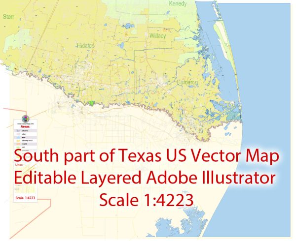
Brownsville, Harlingen, McAllen, and Edinburg are cities located in the southernmost part of Texas, close to the U.S.-Mexico border. Each of these cities has a unique history of urban development, influenced by factors such as geography, economy, and cultural diversity.
- Brownsville: Brownsville is the southernmost city in Texas and has a rich history tied to the border region. It was founded in 1848, and its early development was heavily influenced by its location on the Rio Grande River. The city grew as a trade and transportation hub, with a significant cattle industry in the late 19th century. Brownsville also played a role in the Mexican-American War and the U.S. Civil War. The city’s architecture reflects its historical ties to both the U.S. and Mexico.
- Harlingen: Harlingen was founded in 1904 as a result of the expansion of the railroads through the Rio Grande Valley. It became a center for agriculture, with a focus on citrus and cotton production. The city’s development was greatly influenced by the construction of the Harlingen Irrigation District, which helped sustain its agricultural economy. Over time, Harlingen diversified its economy to include healthcare, education, and manufacturing.
- McAllen: McAllen’s urban development is closely linked to the growth of international trade. The city was founded in 1904 and saw significant growth during the early 20th century due to its proximity to the border and its connection to the railroad. In recent decades, McAllen has experienced rapid population growth and economic development, partly due to its role as a major retail and healthcare center, attracting visitors from both the U.S. and Mexico.
- Edinburg: Edinburg, like its neighboring cities, was influenced by agriculture and trade. It was founded in 1908 and served as a center for cotton and cattle ranching. The city later became the county seat of Hidalgo County. Edinburg’s development was also shaped by its educational institutions, such as the University of Texas Rio Grande Valley, which contributes to its growth as a cultural and educational hub in the region.
All these cities have grown and evolved over the years, driven by economic forces and the unique cultural blend that characterizes the border region. Their development continues to be shaped by trade with Mexico, agriculture, and an increasingly diverse and dynamic economy. These cities also have distinctive cultural elements, with influences from both Mexican and American traditions, making them interesting places to explore and study the history of urban development in the region.


 Author: Kirill Shrayber, Ph.D.