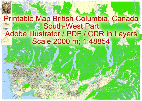
The history of urban development in British Columbia, Canada is a fascinating story of growth, change, and adaptation. The province, located on the west coast of Canada, has a diverse and dynamic history of urbanization, influenced by a variety of factors including geography, natural resources, transportation, and immigration. Here is a brief overview of the history of urban development in British Columbia:
- Indigenous Settlements: Before European colonization, British Columbia was home to various Indigenous peoples, each with their own distinct cultures and settlement patterns. Indigenous communities were often located near waterways and abundant natural resources, such as salmon-rich rivers and forests.
- Colonial Era: British Columbia’s urban development began to accelerate with the colonization of Vancouver Island in the mid-19th century and the Fraser Canyon Gold Rush in 1858. The discovery of gold brought a rush of settlers, and towns like Victoria and New Westminster grew to serve the influx of people and businesses.
- Completion of the Canadian Pacific Railway (CPR): The completion of the Canadian Pacific Railway in 1885, which connected the province to the rest of Canada, had a transformative impact on urban development. The city of Vancouver, which had just been incorporated in 1886, quickly became a major gateway to the Pacific and a key hub for trade and transportation.
- Resource-Based Economy: The province’s abundant natural resources, including timber, minerals, and fisheries, played a significant role in shaping its urban development. Cities such as Vancouver, Victoria, and Nanaimo developed as key centers for resource extraction and processing.
- Industrialization: The early 20th century saw significant industrialization in British Columbia, with the growth of industries like forestry, mining, and manufacturing. This led to the expansion of cities like Vancouver and the development of mill towns in the interior.
- Post-World War II Growth: After World War II, British Columbia experienced a significant population boom. Suburbanization and the development of residential communities expanded the Greater Vancouver area, while other cities also grew rapidly.
- Immigration and Diversity: British Columbia has historically been a destination for immigrants, and this diversity has shaped the cultural and urban landscape. Vancouver, in particular, has become known for its multicultural population.
- Infrastructure and Modernization: The latter half of the 20th century saw substantial investments in infrastructure, including the construction of highways, bridges, and public transportation systems. These developments helped connect urban centers and suburbs.
- Sustainability and Environmental Concerns: In recent decades, British Columbia has become increasingly focused on sustainability and environmental conservation, which has influenced urban planning and development strategies. Green initiatives, public transit expansion, and efforts to reduce carbon emissions are prominent features of contemporary urban development.
- Housing Challenges: British Columbia, particularly in the Vancouver area, has faced significant housing affordability issues in recent years. The high demand for real estate and limited housing supply have created challenges for residents, policymakers, and urban planners.
The history of urban development in British Columbia is a reflection of the province’s unique geography, economic activities, and the interplay of diverse cultures. As the province continues to grow and evolve, it faces ongoing challenges related to urban planning, infrastructure, and environmental sustainability.


 Author: Kirill Shrayber, Ph.D. FRGS