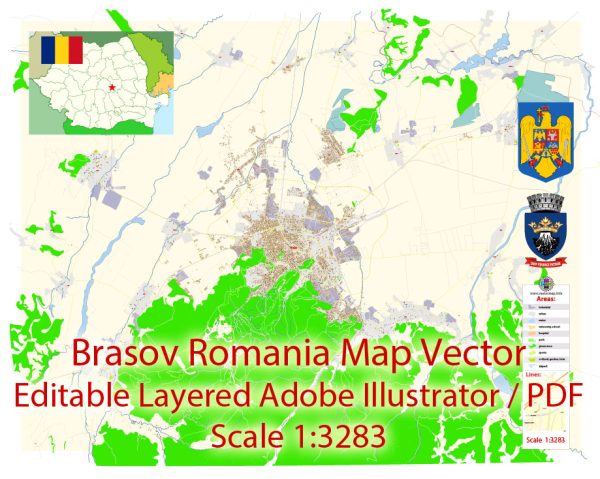
Brasov, located in the heart of Romania, is a city with a rich history of urban development that dates back to medieval times. Its history can be divided into several key periods, each of which has left its mark on the city’s architecture and urban layout.
- Medieval Origins (13th-14th centuries): Brasov was founded in the early 13th century by German settlers known as the Transylvanian Saxons. The city’s strategic location at the crossroads of trade routes and its proximity to the Carpathian Mountains made it a vital center for trade and defense. During this period, the city was fortified with thick stone walls and watchtowers, some of which still exist today, such as the Black Church and the White Tower. The historic center, with its narrow winding streets, was shaped during this time and still retains its medieval charm.
- Ottoman and Habsburg Rule (16th-18th centuries): Brasov came under Ottoman rule in the 16th century but was later liberated and became part of the Habsburg Monarchy. During this period, the city saw the expansion of its fortifications and the construction of baroque-style buildings. The Council House, which stands in the central square, is a notable example of Habsburg-era architecture. The influence of both Ottoman and Habsburg cultures is evident in the city’s architecture and urban development.
- 19th-Century Growth: In the 19th century, Brasov experienced rapid industrialization and modernization. The city expanded beyond its medieval walls, and the construction of the first railway line in Romania in 1873 further boosted its growth. New districts were developed, and the urban fabric continued to evolve. The eclectic architectural style of the 19th century is visible in many of the city’s buildings, blending various architectural influences.
- Interwar and Communist Period: During the interwar period, Brasov saw further development, with the construction of new neighborhoods and the modernization of infrastructure. However, this growth was interrupted by World War II and the subsequent communist regime, which imposed its architectural style and urban planning principles on the city. Large-scale housing complexes were built, and some historic structures were demolished to make way for modernist buildings.
- Post-Communist Era: After the fall of communism in 1989, Brasov, like many other Eastern European cities, began a process of revitalization and restoration. Historic buildings were renovated, and the city aimed to restore its medieval charm. The central square and its surrounding streets were pedestrianized, making it a more attractive destination for both tourists and locals.
Today, Brasov is a vibrant city with a mix of historic architecture, a well-preserved medieval center, and more modern developments. It continues to grow and evolve while preserving its rich historical heritage. The city’s history of urban development is reflected in its diverse architectural styles and layouts, making it a fascinating destination for those interested in history and culture.


 Author: Kirill Shrayber, Ph.D. FRGS