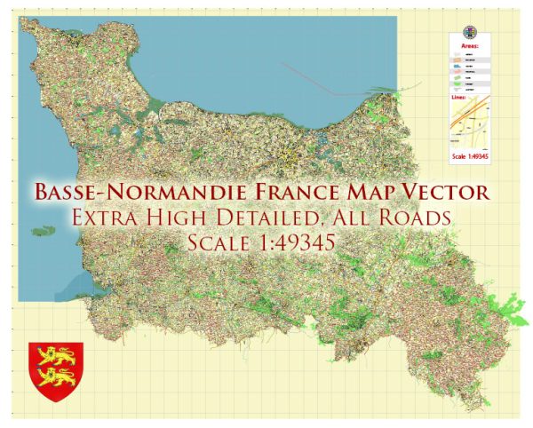
Basse-Normandie, also known as Lower Normandy, is a historical region in the northwest of France. The region has a rich history of urban development that spans centuries, with many towns and cities bearing witness to various periods of change and growth. Here’s a general overview of the history of urban development in Basse-Normandie:
- Roman Period: The history of urban development in Basse-Normandie can be traced back to the Roman era when the region was part of the Roman province of Gallia Lugdunensis. During this period, the Romans established several small settlements and roads, which played a significant role in shaping the region’s future urban centers.
- Medieval Period: The medieval period saw the rise of several important towns in Basse-Normandie. Key among them was Caen, the regional capital, which was founded by William the Conqueror in the 11th century. The town’s development included the construction of an impressive castle, the Abbaye-aux-Hommes, and the Abbaye-aux-Dames. These structures contributed to the town’s growth and status as an important regional center.
- Gothic and Renaissance Architecture: In the later medieval period and during the Renaissance, several towns in Basse-Normandie experienced growth and development. Gothic cathedrals and churches, like the Cathedral of Bayeux, were constructed in many towns. These architectural masterpieces remain iconic symbols of the region’s history.
- Fortifications: Basse-Normandie has a history of fortified towns and castles due to its strategic location along the English Channel. Towns such as Cherbourg and Granville have preserved their medieval fortifications, which were important for defense during various conflicts.
- Modernization and Industrialization: The 19th century saw urban development in Basse-Normandie as industrialization took hold. Cities like Le Havre and Caen expanded, and new infrastructure was developed to support the growing industries, including railways, ports, and modern buildings.
- World War II: During World War II, the region witnessed significant damage due to the D-Day landings and subsequent battles. Many towns, particularly those along the coast, were heavily impacted. However, post-war reconstruction efforts led to the rebuilding and revitalization of these urban areas.
- Contemporary Urban Development: In recent decades, Basse-Normandie has continued to evolve, with a focus on preserving its historical heritage while adapting to modern needs. The region has seen developments in transportation, tourism, and education, with institutions like the University of Caen being pivotal in the contemporary urban landscape.
Basse-Normandie’s history of urban development reflects the broader history of France, with influences from various historical periods shaping its cities and towns. The region’s rich architectural heritage, combined with its picturesque landscapes and cultural significance, makes it an attractive destination for both tourists and historians interested in exploring the history of urban development in this part of France.


 Author: Kirill Shrayber, Ph.D. FRGS