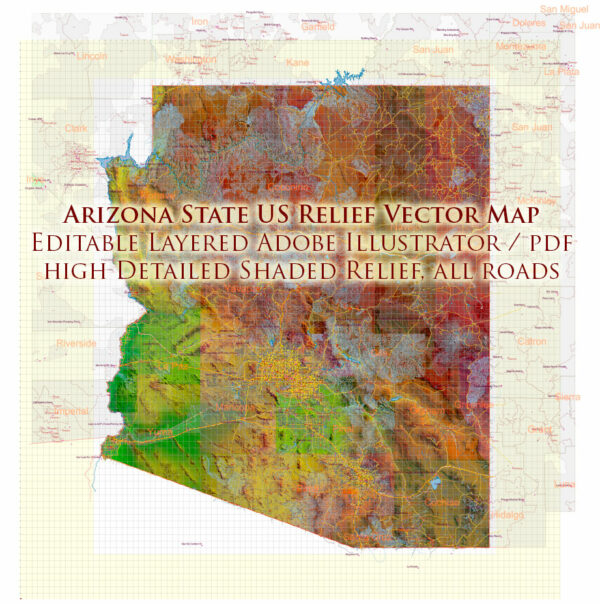
Arizona State, like many other regions in the United States, has a rich history of urban development that reflects the state’s unique geographic and economic characteristics. The urban development of Arizona State can be understood through several key periods and factors:
- Indigenous Communities: Before European colonization, Arizona was inhabited by various Indigenous peoples, including the Navajo, Hopi, Apache, Tohono O’odham, and others. These communities had their own urban and settlement patterns, often centered around agricultural and trade hubs.
- Spanish Colonial Period: The Spanish explored and colonized the region in the 16th century. Mission towns and presidios (forts) were established, such as San Xavier del Bac Mission near Tucson, which represented some of the earliest urban development in the region.
- Mexican Rule: Following Mexican independence, Arizona became part of Mexico in the early 19th century. Tucson and other settlements played significant roles in trade and communication routes during this time.
- American Territorial Period: Arizona became part of the United States as part of the Gadsden Purchase in 1853. The U.S. military established forts and outposts to protect American interests and facilitate westward expansion.
- Mining and Ranching Boom: The late 19th century saw a surge in mining and ranching activities, which contributed to the growth of towns like Tombstone, Bisbee, and Phoenix. The arrival of the railroad in the late 19th century was a pivotal moment for Arizona’s urban development, making it easier to transport goods and people.
- Statehood: Arizona became the 48th state in the United States in 1912. This event marked an important turning point in the state’s history, and urban development continued to expand.
- Post-World War II Growth: The mid-20th century saw a significant population increase and suburban expansion in cities like Phoenix and Tucson. This was partly driven by military bases and defense industries during and after World War II.
- Sun Belt Migration: Arizona, along with other Sun Belt states, experienced a major influx of retirees and migrants in the late 20th century, drawn to the state’s warm climate and economic opportunities.
- Urbanization and Economic Diversification: Arizona’s urban areas continued to grow and diversify their economies, with Phoenix becoming a major economic and cultural hub. The state’s urban centers have expanded through new infrastructure, housing developments, and commercial districts.
- Challenges and Sustainability: The state’s rapid urbanization has presented challenges such as water scarcity, transportation issues, and urban sprawl. Urban planners and policymakers have been working to address these challenges and promote sustainable development.
Today, Arizona State’s urban development continues to evolve, with a focus on balancing growth, economic development, and environmental sustainability. Its cities are known for their distinctive architectural styles, cultural diversity, and a unique blend of modern amenities and a connection to the region’s historical roots.


 Author: Kirill Shrayber, Ph.D. FRGS