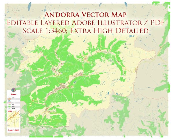
Andorra is a small landlocked principality located in the eastern Pyrenees mountains between France and Spain. Its history of urban development is closely tied to its unique geographical location and political status. Here’s a brief overview of Andorra’s history of urban development:
- Ancient Settlements: The earliest evidence of human habitation in the region dates back to the Neolithic period, with various archaeological sites indicating prehistoric settlements. The area was also inhabited by the Iberians and later the Celts.
- Medieval Origins: Andorra’s urban development can be traced back to the early Middle Ages when it was formed as a result of a charter granted by Charlemagne in the late 8th century. The charter established Andorra as a co-principality under the joint suzerainty of the Bishop of Urgell (in Spain) and the Count of Foix (later the French President). The political structure of Andorra played a significant role in shaping its urban centers.
- Encamp and Andorra la Vella: Two of Andorra’s major towns, Encamp and Andorra la Vella, have their roots in medieval times. Encamp, located in the northern part of the country, was established as an agricultural and trade center, while Andorra la Vella, the capital, developed around a fortified church and was a hub for trade and governance.
- Vernacular Architecture: Andorran urban centers traditionally featured stone buildings with slate roofs, constructed to withstand the region’s mountainous climate. These buildings exhibited a distinctive Pyrenean vernacular architectural style.
- Urban Growth in the Modern Era: Urban development in Andorra accelerated in the 20th century due to economic diversification, with the growth of tourism and commerce. Andorra’s low tax rates attracted foreign investment, leading to the construction of modern buildings and infrastructure.
- Infrastructure and Modernization: Andorra invested in infrastructure projects, such as roads and ski resorts, which contributed to the development of urban areas, especially those geared toward tourism.
- Contemporary Urban Planning: In recent years, Andorra has focused on urban planning and modernizing its towns while preserving its cultural heritage. The government has promoted sustainable development, including pedestrian-friendly zones and green spaces in urban areas.
- Challenges: Andorra’s geography and size present unique challenges for urban development. The country is known for its mountainous terrain, which limits the available space for expansion. Additionally, the need to balance the preservation of cultural heritage with modernization efforts is an ongoing challenge.
Andorra’s history of urban development reflects its unique position as a small principality nestled in the Pyrenees, with a rich heritage and a growing focus on sustainable and modern urban planning to accommodate its changing economic and social needs.


 Author: Kirill Shrayber, Ph.D. FRGS