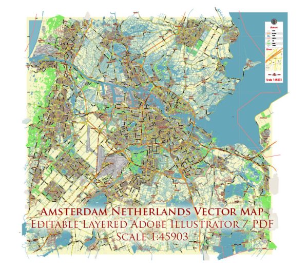
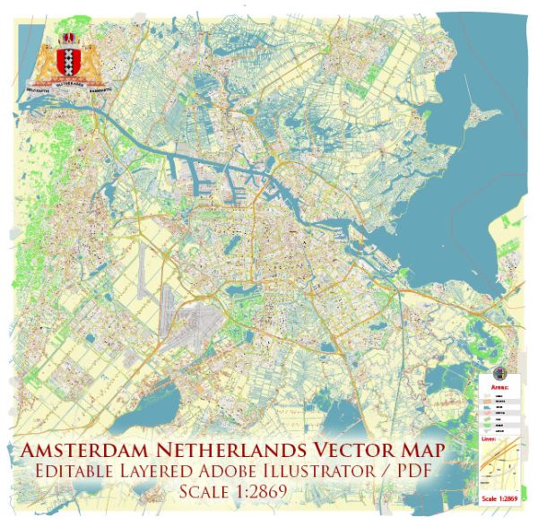
Amsterdam, the capital city of the Netherlands, has a rich history of urban development that spans several centuries. The city’s growth and transformation have been shaped by a variety of factors, including its geographical location, economic activities, social and political changes, and architectural innovations. Here is a brief overview of the history of Amsterdam’s urban development:
- Early Origins: Amsterdam’s history dates back to the 13th century when it was established as a fishing village on the banks of the Amstel River. By the late 16th century, it had evolved into a thriving port city, thanks to its strategic location near the North Sea and its role in international trade.
- The Golden Age (17th Century): The 17th century was the Golden Age of Amsterdam, marked by its remarkable economic prosperity. The city became a major center for global trade, particularly with the Dutch East India Company and West India Company. This period saw the construction of numerous canals, bridges, and iconic buildings, which are now part of the city’s UNESCO-listed Canal Ring.
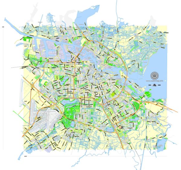
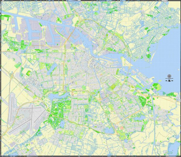
- Expansion and Canal Ring: To accommodate its growing population and commercial activities, Amsterdam expanded by adding concentric canals and neighborhoods. The canal belt, known as the Grachtengordel, was constructed in the early 17th century. This urban planning masterpiece added a series of semicircular canals with tree-lined streets, elegant townhouses, and merchants’ mansions. This layout is integral to Amsterdam’s identity and is still a defining feature of the city.
- Industrialization and Modernization: The 19th century brought significant changes to Amsterdam. The city’s industrialization led to the construction of factories, workers’ housing, and infrastructure development. The advent of railways and the construction of Central Station in the late 19th century connected Amsterdam to the rest of the country.
- 20th Century and Post-War Era: Amsterdam went through various phases of urban development in the 20th century, including expansion into suburbs and modernist architectural projects. However, during World War II, the city suffered considerable damage, and post-war reconstruction efforts aimed to restore historic buildings and infrastructure.
- Contemporary Amsterdam: In recent decades, Amsterdam has focused on preserving its historic character while adapting to the demands of the modern world. The city has emphasized sustainable urban planning, cycling infrastructure, and public transportation. Amsterdam has also become a hub for creative industries, technology startups, and cultural activities.
- Preservation and Revitalization: Many historic areas and buildings in Amsterdam have been preserved, including the Anne Frank House, the Royal Palace, and the Rijksmuseum. The preservation and restoration of these landmarks, along with the maintenance of the canal system, have played a crucial role in maintaining the city’s cultural heritage.
Amsterdam’s urban development is a testament to its ability to adapt to changing times while preserving its rich history. The city’s unique canal system, architectural heritage, and commitment to sustainability continue to make it a vibrant and attractive destination for residents and visitors alike.

 Author: Kirill Shrayber, Ph.D. FRGS