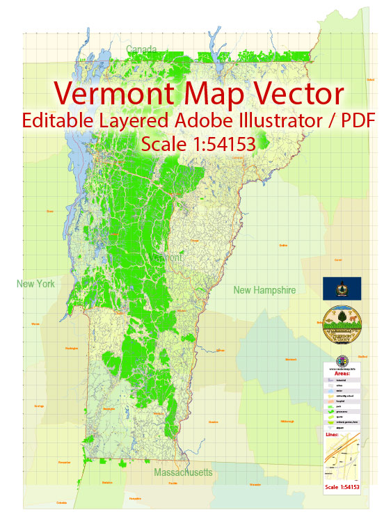
Vermont is home to several beautiful state parks that offer a wide range of outdoor recreational opportunities in a picturesque natural setting. Here are descriptions of a few notable Vermont State Parks:
- Camel’s Hump State Park: Named after its distinctive mountain, Camel’s Hump State Park is a popular destination for hikers and outdoor enthusiasts. The park features extensive hiking trails that lead to the summit of Camel’s Hump, which is one of Vermont’s iconic peaks. The views from the summit are breathtaking, and the park offers a variety of terrain, from dense forests to alpine tundra.
- Smugglers’ Notch State Park: Located in the heart of the Green Mountains, Smugglers’ Notch State Park is known for its stunning mountain scenery and the narrow mountain pass that earned it its name. The park offers numerous hiking trails, including some leading to secluded swimming holes and waterfalls. In the winter, it’s a popular spot for cross-country skiing and snowshoeing.
- Quechee State Park: This park is situated along the Ottauquechee River and features a beautiful gorge with a 165-foot-deep chasm and a stunning waterfall. Visitors can enjoy picnicking, swimming, and hiking along the well-maintained trails. The Quechee Gorge, often referred to as “Vermont’s Little Grand Canyon,” is a major attraction within the park.
- Lake Carmi State Park: If you’re looking for a serene lakeside retreat, Lake Carmi State Park is an ideal destination. Lake Carmi is Vermont’s fourth-largest natural lake, and the park offers camping, swimming, boating, and fishing opportunities. It’s a great spot for a family getaway with plenty of outdoor activities.
- Silver Lake State Park: Silver Lake is a small, peaceful lake in the Goshen-Landgrove area of Vermont. The park is a great place for picnicking, swimming, and non-motorized boating. It’s surrounded by lush forests and offers a tranquil escape from the hustle and bustle of everyday life.
- Button Bay State Park: This park is located on the shores of Lake Champlain and offers stunning views of the lake and the Adirondack Mountains. Visitors can enjoy camping, picnicking, and hiking, as well as exploring the Button Bay Nature Center, which features exhibits about the local natural history and ecology.
These are just a few of the many state parks in Vermont. Each park offers a unique outdoor experience, from hiking and camping to swimming and wildlife observation. Whether you’re seeking adventure, relaxation, or a combination of both, Vermont’s state parks provide a diverse array of opportunities to enjoy the state’s natural beauty.


 Author: Kirill Shrayber, Ph.D. FRGS