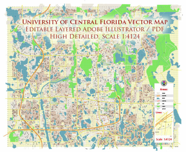
DWG Map — University Of Central Florida US
An editable DWG map of University Of Central Florida US designed as a dependable base for print and digital layouts. Coordinates and scales are prepared for sheet production and consistent exports. Named layers let you restyle colors, line weights and label classes without cleanup passes. Bridges, tunnels and ferry lines are isolated so routes remain legible after recolor. The file accepts custom grids, legends and callouts without redrawing base content. Layer structure separates arterials and locals, districts, hydrography, parks and landmarks.
Works well as an underlay for wayfinding, transport schemes and editorial layouts. Saves prepress time by reducing manual fixes and keeping the visual system consistent. Files remain compact thanks to clean geometry and disciplined labeling. Keeps labels readable while allowing deep customization of routes and highlights.


 Author: Kirill Shrayber, Ph.D. FRGS