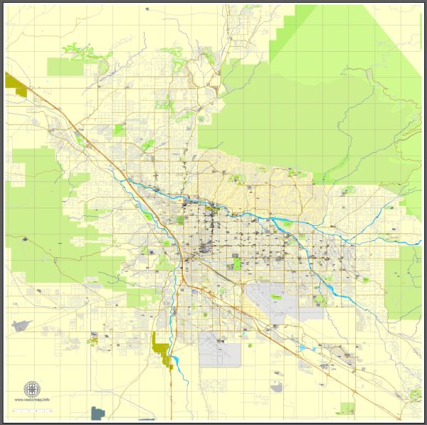
Tucson, Arizona, is home to a variety of stunning nature parks and outdoor recreational areas that showcase the region’s unique desert landscapes and rich biodiversity. Here are descriptions of some of the notable nature parks in Tucson:
- Saguaro National Park: Saguaro National Park is divided into two districts: the Rincon Mountain District (east) and the Tucson Mountain District (west). This national park is known for its iconic Saguaro cacti, which can grow to be over 40 feet tall. Visitors can explore hiking trails, take scenic drives, and enjoy the breathtaking desert scenery. The park also offers opportunities for birdwatching and stargazing, as it is designated as an International Dark Sky Park.
- Sabino Canyon Recreation Area: Sabino Canyon, located in the Santa Catalina Mountains, is a popular destination for outdoor enthusiasts. The canyon features a paved road and a shuttle service that takes visitors into the heart of the canyon. Hiking trails, such as the Seven Falls Trail, provide access to waterfalls, pools, and scenic vistas. The lush riparian area is home to a variety of wildlife, including desert bighorn sheep.
- Catalina State Park: Catalina State Park is nestled in the foothills of the Santa Catalina Mountains, offering hiking, picnicking, and camping opportunities. The park boasts a network of well-maintained trails, like the Romero Pools Trail and the Canyon Loop Trail, which showcase the region’s diverse flora and fauna. The park is a great place for birdwatching and enjoying the beautiful desert landscapes.
- Tohono Chul Park: Tohono Chul Park is a peaceful and beautifully landscaped desert oasis in the heart of Tucson. This botanical garden features various themed gardens, including a desert garden, ethnobotanical garden, and a nature trail. It’s an excellent place to learn about desert plants and their cultural significance. The park often hosts art exhibitions and cultural events.
- Tucson Mountain Park: Located on the west side of Tucson, Tucson Mountain Park offers a vast expanse of natural beauty. It encompasses over 20,000 acres of rugged desert terrain, with numerous trails for hiking, mountain biking, and horseback riding. Gates Pass, within the park, provides panoramic views of the city and stunning sunsets.
- Agua Caliente Park: Agua Caliente Park is a serene oasis in the Sonoran Desert, known for its warm springs and ponds. The park features walking trails, wildlife viewing areas, and birdwatching opportunities, making it a popular spot for relaxation and photography.
- Tumamoc Hill: Tumamoc Hill is a unique outdoor experience, offering a paved road that leads to the top of a hill in the heart of Tucson. This site is used for research and is open to the public for walking and hiking. The panoramic views of the city and surrounding desert make it a great spot for exercise and sunset viewing.
These are just a few of the many nature parks and outdoor attractions in Tucson, Arizona. The city’s natural beauty and diverse landscapes make it a fantastic destination for those who appreciate the desert environment and outdoor activities.


 Author: Kirill Shrayber, Ph.D. FRGS