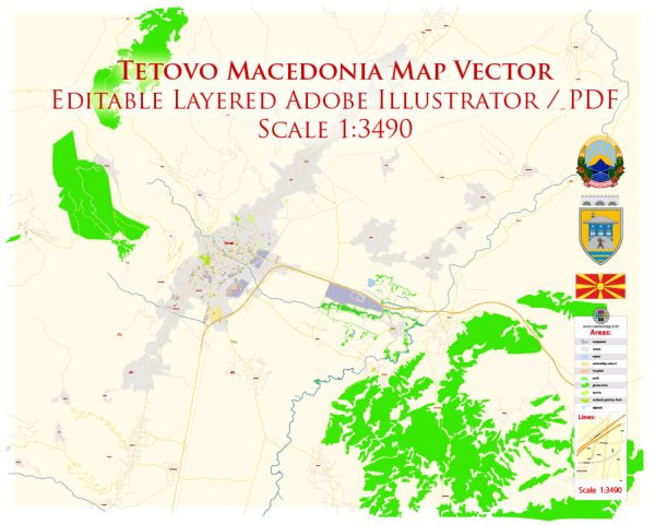
Tetovo is a city located in the western part of North Macedonia, and it is surrounded by beautiful natural landscapes and parks. While there may not be specific “nature parks” within Tetovo itself, the region offers several natural attractions and areas where you can enjoy the outdoors. Here are some notable natural spots and parks near Tetovo:
- Shar Mountain National Park: Shar Mountain National Park is one of the most significant natural areas near Tetovo. It covers a large part of the Shar Mountain range, offering breathtaking scenery, hiking trails, and opportunities for wildlife viewing. The park is known for its diverse flora and fauna, and it’s a popular destination for outdoor enthusiasts, including hikers, climbers, and nature lovers.
- Popova Shapka: Popova Shapka is a mountain resort and a popular winter sports destination, located in the Shar Mountain range. During the summer months, it’s an excellent place for hiking and enjoying the alpine landscapes. The nearby Bistra and Ljuboten peaks offer opportunities for challenging hikes and panoramic views.
- Vardar River: The Vardar River runs near Tetovo and provides a picturesque setting for leisurely walks and picnics. The riverbanks offer a pleasant environment to relax and take in the natural beauty.
- Leunovo Lake: Leunovo Lake, also known as Leunovo Reservoir, is a man-made lake located to the southwest of Tetovo. It’s a popular spot for fishing and picnicking, and the serene surroundings make it a peaceful place to visit.
- Sar Mountains: The Sar Mountains, part of the Šar Planina range, are a stunning natural area near Tetovo. These mountains offer numerous hiking and trekking trails, and they are known for their alpine landscapes, lush forests, and glacial lakes.
While Tetovo may not have specific nature parks within the city limits, the surrounding region is rich in natural beauty and offers various outdoor activities for nature enthusiasts. These areas provide opportunities for hiking, wildlife observation, and enjoying the tranquility of North Macedonia’s natural landscapes.


 Author: Kirill Shrayber, Ph.D. FRGS