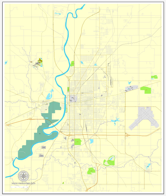
Terre Haute, Indiana, offers several nature parks and outdoor recreational areas for residents and visitors to enjoy. While the city is more known for its industrial and cultural heritage, it does have a few natural spots worth exploring. Here are some of the nature parks and areas in and around Terre Haute:
- Griffin Bike Park:
- Located within the Griffin Sports Complex, this park is primarily designed for off-road cycling enthusiasts, but it also offers hiking and walking trails.
- The park features a variety of biking trails, from beginner to advanced, making it suitable for riders of all skill levels.
- It’s a great place for outdoor activities and enjoying the natural beauty of the area.
- Dobbs Park:
- Dobbs Park is a 194-acre nature park that offers various outdoor activities, including hiking, birdwatching, and picnicking.
- The park is home to a nature center that hosts educational programs and exhibits about the local flora and fauna.
- You can explore the park’s trails, which take you through wooded areas and along the Wabashiki Fish and Wildlife Area.
- Wabashiki Fish and Wildlife Area:
- Wabashiki is a wetland and wildlife area located along the Wabash River. It’s a haven for birdwatchers and nature enthusiasts.
- The area features extensive wetlands and is known for its diverse bird populations, making it a great place for birdwatching.
- The Wabashiki Fish and Wildlife Area offers several trails for hiking and exploring the natural beauty of the wetlands.
- Hawthorn Park:
- Hawthorn Park is a well-maintained city park with a variety of outdoor amenities, including playgrounds, picnic areas, and walking trails.
- The park’s walking trails wind through wooded areas and around ponds, providing a peaceful and natural setting within the city limits.
- It’s a great place for a family outing, picnicking, or a leisurely stroll in a natural setting.
These nature parks in Terre Haute provide opportunities for outdoor recreation and a chance to connect with nature in a city that may be better known for its urban and industrial aspects. They offer a range of activities, from hiking and biking to birdwatching and picnicking, making them great destinations for outdoor enthusiasts and those seeking a natural escape.


 Author: Kirill Shrayber, Ph.D. FRGS