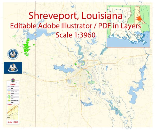
Shreveport-Bossier, located in northwest Louisiana, offers several nature parks and outdoor recreation opportunities for residents and visitors. While there are more urban and suburban areas in these cities, you can still find natural spaces to enjoy. Here are some of the nature parks in the Shreveport-Bossier area:
- Red River National Wildlife Refuge: The Red River National Wildlife Refuge is a beautiful natural area along the Red River that spans across both Shreveport and Bossier City. It offers hiking trails, bird watching, and opportunities to observe wildlife in their natural habitat. The refuge is a great place for nature enthusiasts and photographers.
- Walter B. Jacobs Memorial Nature Park: Located in Shreveport, this nature park is a 160-acre sanctuary dedicated to preserving the natural environment and providing educational opportunities. It features various nature trails, including a boardwalk, that wind through the park’s diverse ecosystems, allowing visitors to explore the local flora and fauna.
- Caddo Lake State Park (nearby in Texas): While not directly in Shreveport-Bossier, Caddo Lake State Park is only a short drive away, across the Texas border. This park surrounds Caddo Lake, which is a serene and picturesque spot known for its Spanish moss-draped cypress trees, making it a popular location for kayaking, fishing, and nature photography.
- Betty Virginia Park: Betty Virginia Park is a city park in Shreveport that offers a green respite from urban life. It features a pond, walking trails, and a beautiful rose garden, making it a great place for picnics, casual walks, or simply enjoying the outdoors.
- Clyde Fant Park and Riverview Park: Located along the Red River in downtown Shreveport, these parks provide scenic river views, walking trails, and recreational facilities. They are popular for outdoor events, festivals, and leisurely walks along the riverfront.
These parks offer a range of outdoor activities, from birdwatching and hiking to picnicking and wildlife observation. Keep in mind that the natural beauty of the Shreveport-Bossier area is also characterized by its bayous, swamps, and lush greenery, making it a unique and visually appealing destination for nature enthusiasts and those seeking outdoor adventures.


 Author: Kirill Shrayber, Ph.D. FRGS