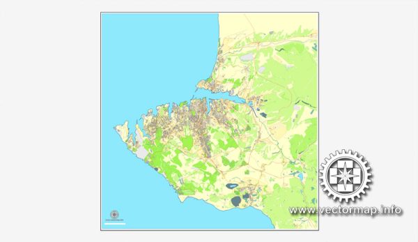
Sevastopol, located on the Crimean Peninsula, has several beautiful nature parks and reserves that offer a diverse range of landscapes and ecosystems. Here are some of the nature parks and reserves in and around Sevastopol as of that time:
- Cape Fiolent Nature Reserve: This reserve is known for its dramatic coastal cliffs, pristine beaches, and crystal-clear waters. It offers breathtaking views of the Black Sea and provides a habitat for various plant and animal species. Visitors can explore the rugged coastline and enjoy hiking and picnicking in this scenic area.
- Chersonese Tavrichesky Historical and Archaeological Museum-Reserve: Although primarily a historical and archaeological site, Chersonese also features a beautiful park with lush greenery and walking paths. The park overlooks the Black Sea and is a lovely place for a leisurely stroll.
- Karadag Nature Reserve: Located to the east of Sevastopol, Karadag is a significant nature reserve featuring a unique karst landscape, diverse flora and fauna, and numerous hiking trails. The reserve encompasses the extinct Karadag volcano and the surrounding area. It’s a great place for nature enthusiasts and hikers.
- Laspi Bay: Laspi Bay, not far from Sevastopol, is known for its stunning coastal scenery and crystal-clear waters. The area is popular for swimming, snorkeling, and scuba diving. The surrounding cliffs and caves make it an attractive destination for those who love exploring both underwater and above the surface.
- Baidarskyi Pass Nature Park: This park is located in the southern part of the Crimean Peninsula and offers opportunities for outdoor activities such as hiking, horseback riding, and birdwatching. The park’s landscapes include forests, valleys, and unique rock formations.
- Balaklava Nature Reserve: Situated in the town of Balaklava, this reserve encompasses both marine and terrestrial ecosystems. It’s known for its underwater caves and diverse marine life. The reserve also offers opportunities for hiking and exploring the coastal and forested areas.
Please keep in mind that the accessibility and status of these natural areas may have changed since my last update due to the ongoing political situation in Crimea. It’s essential to verify the current situation and any travel advisories if you plan to visit these areas.


 Author: Kirill Shrayber, Ph.D. FRGS