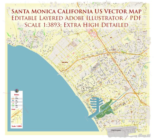
Santa Monica, California, is known for its stunning natural beauty and offers a variety of nature parks and outdoor spaces for residents and visitors to enjoy. Here are some of the most notable nature parks in and around Santa Monica:
- Santa Monica State Beach: This iconic beach stretches for several miles along the Santa Monica coastline. It’s a popular destination for sunbathing, swimming, and various water sports. The beachfront promenade, known as the Santa Monica Pier, is also a significant attraction featuring an amusement park, restaurants, and shops.
- Palisades Park: Located atop the bluffs overlooking the Pacific Ocean, Palisades Park offers breathtaking views of the coastline. It’s a great place for a leisurely stroll, picnicking, or simply enjoying the fresh sea breeze. The park features beautiful gardens and public art installations.
- Topanga State Park: While not located within Santa Monica city limits, Topanga State Park is just a short drive away and offers a rugged natural escape. This vast park encompasses numerous trails for hiking and mountain biking, including options for all skill levels. The park’s diverse landscapes include canyons, chaparral, and oak woodlands.
- Will Rogers State Historic Park: This park is located just north of Santa Monica and honors the legacy of Will Rogers, a beloved American cowboy, humorist, and actor. Visitors can explore the historic ranch house, go for a hike on the surrounding trails, and enjoy a picnic in a picturesque setting.
- Rustic Canyon Park: Nestled in the Santa Monica Mountains, Rustic Canyon Park is a peaceful, wooded oasis with hiking trails and a seasonal creek. The park provides a sense of seclusion and is an excellent spot for birdwatching and nature appreciation.
- Temescal Canyon Park: This park offers a popular trailhead for those interested in hiking and taking in panoramic views of the Pacific Ocean and the city. The Temescal Canyon Loop Trail is a well-liked option, and the park also features a seasonal waterfall.
- Cheviot Hills Recreation Center: While not in Santa Monica but nearby, this park provides a variety of recreational activities, including a golf course, playgrounds, tennis courts, and green spaces for picnics and relaxation.
These nature parks and outdoor spaces in and around Santa Monica provide opportunities for a wide range of activities, from leisurely strolls along the beach to more challenging hikes in the nearby Santa Monica Mountains. Whether you’re seeking scenic views, outdoor recreation, or a peaceful escape from the city, there’s something for everyone to enjoy in Santa Monica’s natural surroundings.


 Author: Kirill Shrayber, Ph.D. FRGS