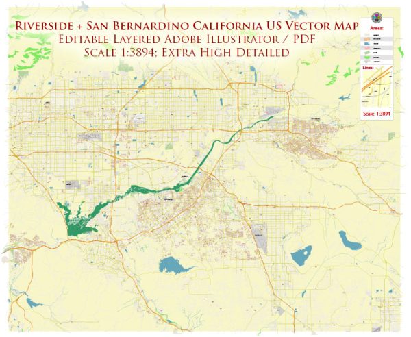
Riverside and San Bernardino, located in Southern California, offer a variety of beautiful nature parks and outdoor recreational opportunities for residents and visitors. Here are some of the notable nature parks and their descriptions in the Riverside and San Bernardino areas:
- Joshua Tree National Park: While not directly in Riverside or San Bernardino, Joshua Tree National Park is a stunning natural wonder that’s relatively close by. It’s famous for its unique landscapes, including rugged rock formations, stark desert vistas, and the iconic Joshua trees. Visitors can enjoy hiking, rock climbing, stargazing, and birdwatching in this otherworldly environment.
- Mount San Jacinto State Park: Situated in the San Jacinto Mountains, this park offers a refreshing escape from the desert heat. The star attraction is the Palm Springs Aerial Tramway, which takes you from the desert floor to the pine-covered mountaintop. Here, you can explore miles of hiking trails, go camping, and enjoy panoramic views of the Coachella Valley.
- San Bernardino National Forest: This vast forest covers a significant portion of the San Bernardino Mountains, providing ample opportunities for outdoor enthusiasts. Hiking, mountain biking, camping, and fishing are popular activities. Big Bear Lake and Lake Arrowhead are also located within this forest, offering water-based activities like boating and swimming.
- Box Springs Mountain Reserve Park: Located in Riverside, this park features a network of trails that wind through rolling hills and offer great views of the city. It’s a fantastic spot for hiking, trail running, and wildlife watching. The “C” trail leads to a giant concrete “C” on the mountainside, representing UC Riverside.
- Sycamore Canyon Wilderness Park: This park, located in Riverside, offers a natural oasis amid urban surroundings. It has a series of trails that wind through woodlands, canyons, and riparian habitats. Birdwatching, wildflower viewing, and picnicking are popular activities here.
- Oak Glen Preserve: Situated in the foothills of the San Bernardino Mountains, Oak Glen Preserve is known for its apple orchards and the Wildlands Conservancy’s visitor center. The preserve offers hiking trails through oak woodlands, providing a peaceful natural setting.
- California Citrus State Historic Park: Located in Riverside, this park preserves the history of California’s citrus industry. Visitors can explore the citrus groves, learn about the industry’s development, and enjoy picnicking areas surrounded by fragrant citrus trees.
- Jurupa Mountains Discovery Center: This center in Riverside features a botanical garden and dinosaur exhibits, making it an educational and family-friendly destination. It also offers access to the Jurupa Mountains, where you can explore hiking trails and enjoy scenic views of the Inland Empire.
These nature parks and reserves in Riverside and San Bernardino provide a range of outdoor experiences, from desert landscapes to mountain forests, making them ideal destinations for nature lovers, hikers, and outdoor enthusiasts. Whether you’re looking for a peaceful escape or an adventurous day out, you’ll find a variety of options in this region of Southern California.


 Author: Kirill Shrayber, Ph.D. FRGS